

Race to the Sea 1914
Map showing the course of the "Race to the Sea" during 1914 following the Battle of the Aisne. Allied front line and movement is shown in red, German front line and movement shown in blue. Three of the battles that occurred during or after the "race" are shown boxed. Based on a map from A Short Military History of World War I - Atlas, edited by T. Dodson Stamps and Vincent J. Esposito, 1950.
- Date
- August 8, 2004
- Mapmaker / publisher
- Gsl
- Place
- the Race to the Sea
- Archive
- Wikimedia Commons
- Type
- map
- Original size
- 740 × 900 pixels
Public domain
Reason: public domain: user.
This status rests on the map's publication history, as researched by Wikimedia Commons. Check it before commercial use.
Read from: Commons licence category: PD-user; no CC BY, CC BY-SA, GFDL or deletion tag on the file page.
Credit line
"Race to the Sea 1914" (August 8, 2004). Gsl, via Wikimedia Commons. Public domain. https://commons.wikimedia.org/wiki/File:Race_to_the_Sea_1914.pngNeed maps for a whole project? Add Find Any Map to Claude and ask for this one by its id: 22890.
More like this
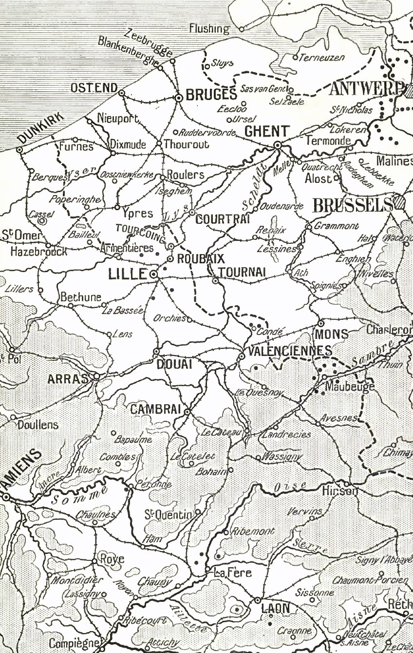
Map Aisne to the North Sea, 1914
1914 · Wikimedia Commons

Northern Western Front, 1914
1914 · Wikimedia Commons

Course mer
1919 · Wikimedia Commons

Franco-German flanking moves, 15 September - 8 October 1914
1914 · Wikimedia Commons

BATTLE OF THE YSER
Wikimedia Commons
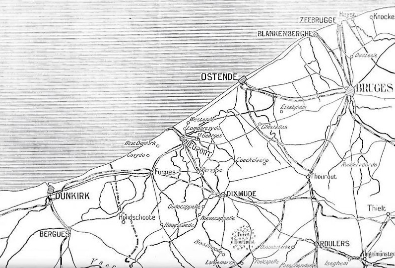
Franco-Belgian littoral, 1914
1915–1922 · Wikimedia Commons

Map Lens to Ypres, 1914
1914 · Wikimedia Commons
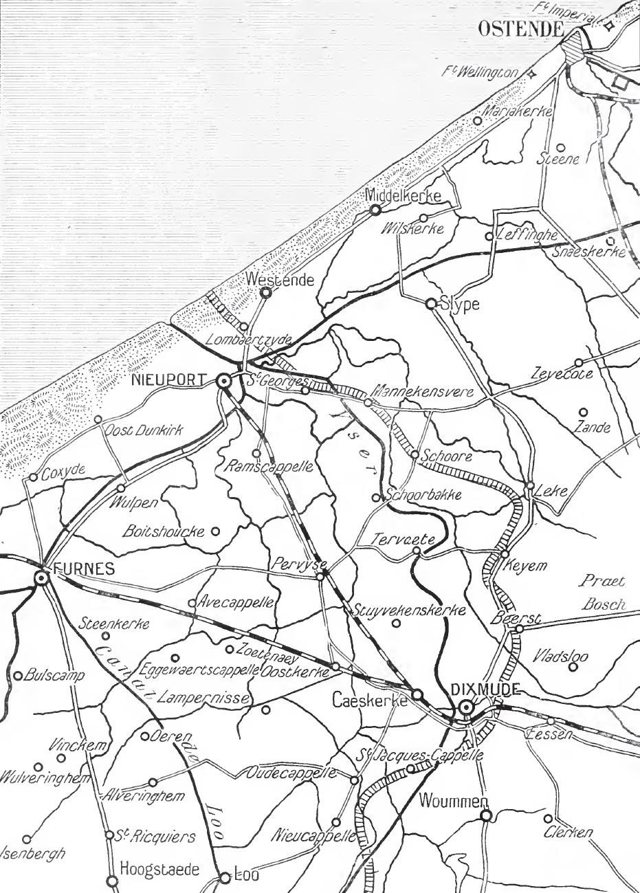
Belgian coast, 1914
1914 · Wikimedia Commons