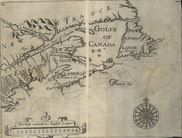

Purchas Map of New England
Map of New England from Cape Cod to Newfoundland in 1625
- Date
- 1625
- Place
- Canada
- Archive
- Wikimedia Commons
- Type
- map
- Original size
- 609 × 463 pixels
Public domainsafest
Reason: its maker died more than 70 years ago.
Read from: Commons licence category: PD-old-70-expired; no CC BY, CC BY-SA, GFDL or deletion tag on the file page.
Credit line
"Purchas Map of New England" (1625). Wikimedia Commons. Public domain. https://commons.wikimedia.org/wiki/File:Purchas_Map_of_New_England.jpgNeed maps for a whole project? Add Find Any Map to Claude and ask for this one by its id: 293883.
More like this

(New England, Nova Scotia, and Newfoundland).
1624 · Library of Congress

New England.
1624 · Library of Congress

Nova Belgica et Anglia Nova.
1635 · Library of Congress

Carte de la Nouvelle-France augmentée depuis la derniere, servant à la navigation faicte de son vray meridien / par le Sr. Champlain.
1632 · Wikimedia Commons

Gastaldi Map
1556 · Wikimedia Commons

Descripsion des costs, pts., rades, illes de la Nouuele France faict selon son vray méridien - avec la déclinaison de la ment de plussieurs endrois selon que le sieur de Castes le franc le démontre en
1607 · Library of Congress

Champlain's map of New France 1632
1850 · New York Public Library

A new chart of the sea coast of Newfound land, New Scotland, New England. NYPL481136
1702–1707 · New York Public Library