

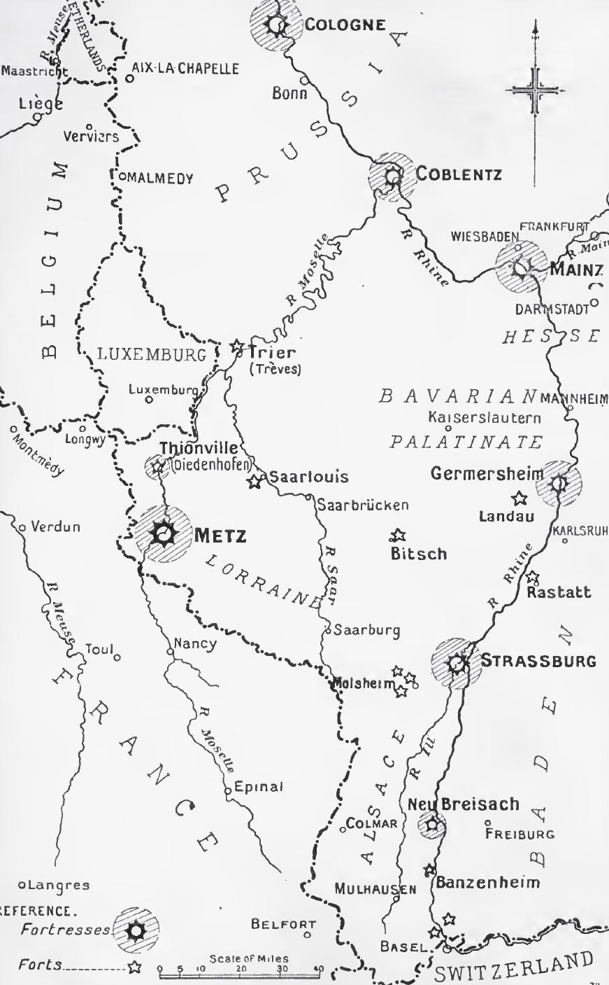
Proposed WW-1 Rhineland Occupation Map
Proposed French Plan For Employment Of Allied Forces In The Rhineland
- Date
- 1948
- Mapmaker / publisher
- United States Army Center for Military History
- Place
- the history of the Rhineland
- Archive
- Wikimedia Commons
- Type
- map
- Original size
- 1,991 × 2,370 pixels
Public domainsafest
Reason: a US government work (US Army).
Read from: Commons licence category: PD US Army USACMH; no CC BY, CC BY-SA, GFDL or deletion tag on the file page; permission field: – US Army Center for Military History.
Credit line
"Proposed WW-1 Rhineland Occupation Map" (1948). United States Army Center for Military History, via Wikimedia Commons. Public domain. https://commons.wikimedia.org/wiki/File:Proposed_WW-1_Rhineland_Occupation_Map.pngNeed maps for a whole project? Add Find Any Map to Claude and ask for this one by its id: 23217.
More like this

Allied Offensive Operations and Occupation of Rhineland
1948 · Wikimedia Commons

Operation Undertone Map 1945
1945 · Wikimedia Commons

ADVANCE OF AMERICAN THIRD ARMY, WW1
1948 · Wikimedia Commons

Crossing of the Rhine
Wikimedia Commons

Western Germany 1923 hist
1925 · Wikimedia Commons

Rhineland campaign 1945 map
1945 · Wikimedia Commons
Rhine frontier fortifications, 1914
1914 · Wikimedia Commons

Rhine River Crossings in the South
1973 · Wikimedia Commons