
print, map
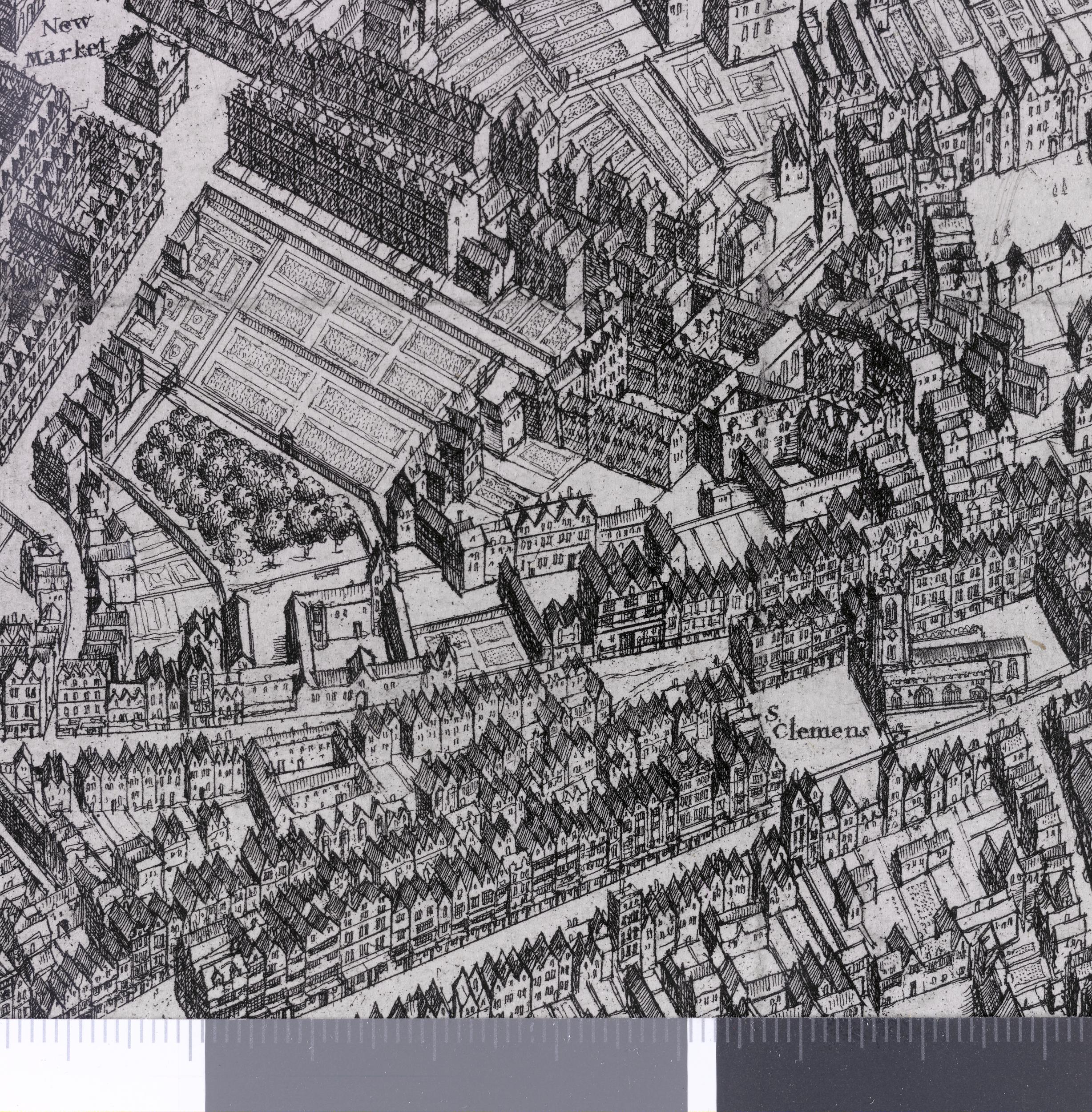
A sheet from a bird's-eye plan of London: from St Giles on the left to Chancery Lane on the right, Holborn at top, the Thames from Savoy Stairs to Essex Stairs at the bottom. 1660/6 Etching
- Date
- 1660–1666
- Archive
- Wikimedia Commons
- Type
- map
- Sheets
- 5
- Original size
- 2,500 × 1,938 pixels
Public domainsafest
Reason: its maker died more than 100 years ago.
Read from: Commons licence category: PD-old-100-expired; no CC BY, CC BY-SA, GFDL or deletion tag on the file page; permission field: © The Trustees of the British Museum, released as CC BY-NC-SA 4.0.
Credit line
"print, map" (1660–1666). Wikimedia Commons. Public domain. https://commons.wikimedia.org/wiki/File:Print,_map_(BM_Q,6.136_1).jpgNeed maps for a whole project? Add Find Any Map to Claude and ask for this one by its id: 293004.
All 5 sheets
Each sheet links to its file at the archive; the image link is the full-size scan.


More like this

A Large and Accurate Map of the City of London
1677 · 3 sheets

Plan of London before the fire. State 2.
Wikimedia Commons

Plan of London before the fire. State 2, variant.
Wikimedia Commons

London before the fire. State 2.
Wikimedia Commons

London before the fire. State 1.
Wikimedia Commons

London before the Great Fire
1666 · Wikimedia Commons

Plan of London before the fire; map of London extending from Westminster to Stepney and from St George's Fields in S to fields N of the city; "scale of miles" below right; sixteen coats of arms of the
c. 1673 · 2 sheets

A New and Plaine Mapp of the Citty of London.
1676 · Wikimedia Commons