

Praetorium Arbeia
- Date
- March 10, 2011
- Mapmaker / publisher
- Veleius 22:50, 10. Mär. 2011 (CET)
- Archive
- Wikimedia Commons
- Type
- map
- Original size
- 1,056 × 840 pixels
Public domain
Reason: public domain: self.
This status rests on the map's publication history, as researched by Wikimedia Commons. Check it before commercial use.
Read from: Commons licence category: PD-self; no CC BY, CC BY-SA, GFDL or deletion tag on the file page.
Credit line
"Praetorium Arbeia" (March 10, 2011). Veleius 22:50, 10. Mär. 2011 (CET), via Wikimedia Commons. Public domain. https://commons.wikimedia.org/wiki/File:Praetorium_Arbeia.jpgNeed maps for a whole project? Add Find Any Map to Claude and ask for this one by its id: 145132.
More like this
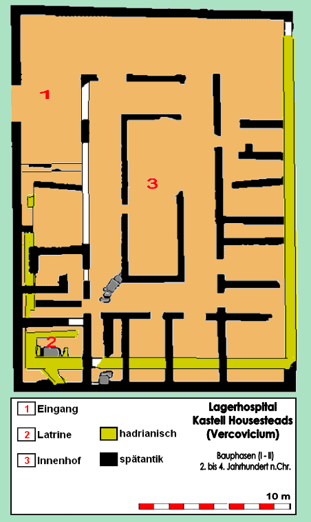
Lagerhospital Housesteads BP
August 2, 2016 · Wikimedia Commons

Römisches Badegebäude des Vicus von Veldidena, 3. bis 4. Jahrhundert n.Chr. in Innsbruck-Wilten. Befundskizze der Grabung von 2010, Anton Höck.
July 22, 2015 · Wikimedia Commons

Grondplan Tempel van Romulus
Wikimedia Commons

Arch of Augustus
1911 · Wikimedia Commons

Basilica 3
1911 · Wikimedia Commons

# Plan of the Roman Forum and its Vicinity at the Time of the Republic # Plan of the Imperial Forums and their Vicinity Historical Atlas by William R. Shepherd, 1911. Courtesy of the University of Tex
1910s · Wikimedia Commons

Roads in the Roman Empire
June 8, 2025 · Wikimedia Commons

Roma Plan bw
1886 · Wikimedia Commons