

Plaquemines Parish Pointe à la Hache Map 1939
1939 map of section of Plaquemines Parish, Louisiana including Ironton, Myrtle Grove and Pointe à la Hache.
- Date
- 1939
- Mapmaker / publisher
- U.S. Geological Survey
- Place
- North America
- Archive
- Wikimedia Commons
- Type
- map
- Original size
- 2,359 × 2,924 pixels
Public domainsafest
Reason: a US government work.
Read from: Commons licence category: PD US Government; no CC BY, CC BY-SA, GFDL or deletion tag on the file page.
Credit line
"Plaquemines Parish Pointe à la Hache Map 1939" (1939). U.S. Geological Survey, via Wikimedia Commons. Public domain. https://commons.wikimedia.org/wiki/File:Plaquemines_Parish_Pointe_%C3%A0_la_Hache_Map_1939.jpgNeed maps for a whole project? Add Find Any Map to Claude and ask for this one by its id: 294282.
More like this

Houma Raceland Lockport Map-1939
1939 · Wikimedia Commons
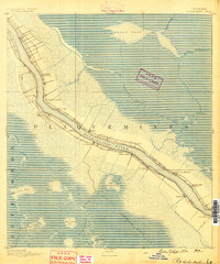
Pointe a La Hache, Louisiana: USGS topographic map, 1:62,500 (1891–1964)
1891–1964 · 8 editions
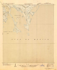
Garden Island Pass, Louisiana: USGS topographic map, 1:31,680 (1935–1947)
1935–1947 · 2 editions
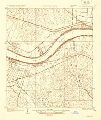
Luling, Louisiana: USGS topographic map, 1:31,680 (1935–1938)
1935–1938 · 4 editions
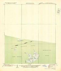
Grand Island Pass, Louisiana: USGS topographic map, 1:31,680 (1935–1949)
1935–1949 · 2 editions
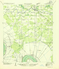
Gonzales, Louisiana: USGS topographic map, 1:31,680 (1935–1954)
1935–1954 · 2 editions
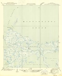
Malheureux Point, Louisiana: USGS topographic map, 1:31,680 (1946–1954)
1946–1954 · 2 editions
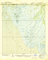
Pass Tante Phine, Louisiana: USGS topographic map, 1:31,680 (1946–1954)
1946–1954 · 2 editions