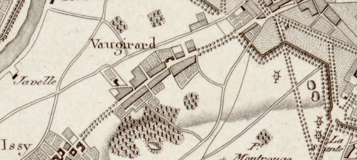

Plan Vaugirard 1805
- Date
- 1805
- Mapmaker / publisher
- Joseph Lantz
- Archive
- Library of Congress (via Wikimedia Commons)
- Type
- map
- Original size
- 1,150 × 517 pixels
Public domainsafest
Reason: its maker died more than 100 years ago, and a faithful scan of a flat work adds no new copyright.
Read from: Commons licence category: PD-Art (PD-old-100); no CC BY, CC BY-SA, GFDL or deletion tag on the file page.
Credit line
"Plan Vaugirard 1805" (1805). Joseph Lantz. Library of Congress, Geography and Map Division, via Wikimedia Commons. Public domain. https://commons.wikimedia.org/wiki/File:Plan_Vaugirard_1805.jpgNeed maps for a whole project? Add Find Any Map to Claude and ask for this one by its id: 135912.
More like this

Partie de Vaugirard comprise entre le chemin de fer de l'Ouest, la barrière de Vaugirard, la rue Napoléon et le rond-point des Fourneaux (lotissements des rues Regnier, Bargue, Plumet et Dutot prolongée)
1854 · Wikimedia Commons

Plan der Stadt Paris mit ihren umliegenden Gegenden = Plan de la ville de Paris avec ses environs
1805 · Library of Congress

Plan des terrains à acquérir sur le territoire. des Batignolles pour. l'agrandissement du cimetière du Nord. dressé par le géométre de la ville de Paris
1850 · Wikimedia Commons

Père-Lachaise - Plan - 1825
1825 · Wikimedia Commons

Plan routier de la Ville de Paris et de ses Faubourgs
1804 · Wikimedia Commons

Ville de Paris. Plan cadastral de la Division de Popincourt. Huitième arrondissement.
1807–1821 · Wikimedia Commons

Plan de la commune de Montmartre
1843 · Wikimedia Commons

Plan des terrains à acquérir sur le territoire de la commune des Batignolles pour compléter l'agrandissement du cimetière du Nord. dressé par le géomètre de la ville de Paris
1850 · Wikimedia Commons