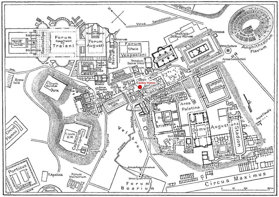

Plan Rome - Tempel van Vesta
Map of antique downtown Rome, Temple of Vesta is highlited.
- Date
- 1916
- Place
- Rome from Nordisk familjebok
- Archive
- Wikimedia Commons
- Type
- map
- Original size
- 1,099 × 777 pixels
Public domain
Reason: its maker died long enough ago that the copyright has expired.
This status rests on the map's publication history, as researched by Wikimedia Commons. Check it before commercial use.
Read from: Commons licence category: PD Old; no CC BY, CC BY-SA, GFDL or deletion tag on the file page.
Credit line
"Plan Rome - Tempel van Vesta" (1916). Wikimedia Commons. Public domain. https://commons.wikimedia.org/wiki/File:Plan_Rome_-_Tempel_van_Vesta.pngNeed maps for a whole project? Add Find Any Map to Claude and ask for this one by its id: 20173.
More like this

Plan Rome - Templum Vespasiani et Titi
1916 · Wikimedia Commons

Plan Rome - Arcus Titi
1916 · Wikimedia Commons

Plan Rome - Basilica Ulpia
1916 · Wikimedia Commons

Map Forum - Temple of Antoninus and Faustina
1916 · Wikimedia Commons

Roma PlanFXD
1886 · Wikimedia Commons

Map of downtown Rome during the Roman Empire large
1916 · Wikimedia Commons

Forum map - Regia
1916 · Wikimedia Commons

Map Forum - Temple of Concordia
1916 · Wikimedia Commons