

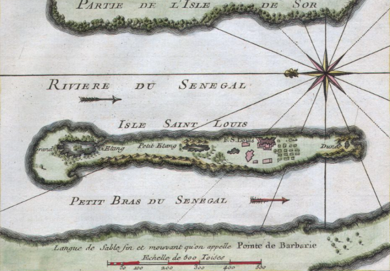
Plan of Saint Louis Senegal, 1732
Black and White plan of French slave fort at St Louis, Senegal
- Date
- 1732
- Mapmaker / publisher
- w:en:Awnsham CHurchill and John Churchill
- Place
- Senegal
- Archive
- Wikimedia Commons
- Type
- map
- Original size
- 801 × 598 pixels
Public domainsafest
Reason: its maker died more than 70 years ago.
Read from: Commons licence category: PD-old-70-expired; no CC BY, CC BY-SA, GFDL or deletion tag on the file page.
Credit line
"Plan of Saint Louis Senegal, 1732" (1732). w:en:Awnsham CHurchill and John Churchill, via Wikimedia Commons. Public domain. https://commons.wikimedia.org/wiki/File:Plan_of_Saint_Louis_Senegal,_1732.pngNeed maps for a whole project? Add Find Any Map to Claude and ask for this one by its id: 235901.
More like this

Fort St. Jacques, Gambia, 1695
1695 · Wikimedia Commons
Map of Isle of Saint Louis, Senegal
1750 · Wikimedia Commons

Plan of James Island and Fort, Gambia, 1727
1727 · Wikimedia Commons

Plan du fort hollandois de Sama nommé St. Sebastien situé a la coste de Guinée par les 4 degr. 35 min. de latitude.
1700–1799 · Wikimedia Commons

The Dakar-Saint-Louis line in Senegal published in La Géographie cited below.
1901 · Wikimedia Commons

Carte de la cotte d'Affrique contenant partie de la concession de la Compagnie royale du Senegal, depuis le cap Blanc jusque au Bissaux, 17.
1700–1799 · Wikimedia Commons

Carte de l'Afrique Françoise ou du Senegal.
1730 · Wikimedia Commons

Plan du fort anglois et de la ville du cap de Corse, situé à la coste de Guinée par 4 degrés 50 minutes de latitude
1700–1799 · Wikimedia Commons