

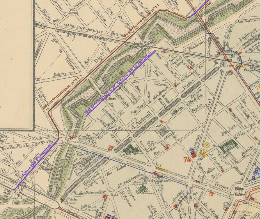
Plan jacoubert
- Date
- 1860
- Mapmaker / publisher
- Théodore Jacoubet 1860
- Place
- Neuilly-sur-Seine
- Archive
- Wikimedia Commons
- Type
- atlas page
- Original size
- 1,019 × 731 pixels
Public domainsafest
Reason: its maker died more than 70 years ago, and a faithful scan of a flat work adds no new copyright.
Read from: Commons licence category: PD-Art (PD-old-70); no CC BY, CC BY-SA, GFDL or deletion tag on the file page.
Credit line
"Plan jacoubert" (1860). Théodore Jacoubet 1860, via Wikimedia Commons. Public domain. https://commons.wikimedia.org/wiki/File:Plan_jacoubert.jpgNeed maps for a whole project? Add Find Any Map to Claude and ask for this one by its id: 299676.
More like this

Neuillysablons
Wikimedia Commons
Fortifs gouvion
1900 · Wikimedia Commons

Paris. Plan des environs de la Place de l'Etoile et de l' Avenue de la Porte Maillot
1861 · Wikimedia Commons

Plan de Paris
c. 1890 · Neuilly-sur-Seine

Avenue Kléber 2
February 3, 2018 · Wikimedia Commons

Extrait de la carte du département de la Seine, 1860 - Gallica
1860 · Wikimedia Commons

Nouveau plan de Paris et de son enceinte, 1866 - Gallica
1866 · Wikimedia Commons

Plan général de la commune de Batignolles-Monceaux
1852 · Wikimedia Commons