

Plan géométrique de Reconvilier 1800-1815
Plan géométrique de Reconviller sous l'occupation française (Département du Haut-Rhin) établi entre 1800 et 1815. Le plan mentionne « levé en exécution des arrêtés du Gouvernement du 12 Brumaire XI (3 novembre 1799) et du 27 Vend XII (18 octobre 1800)».
- Date
- 1800–1815
- Mapmaker / publisher
- Oblic
- Place
- Switzerland
- Archive
- Wikimedia Commons
- Type
- map
- Original size
- 5,998 × 4,223 pixels
Public domain
Reason: its maker died long enough ago that the copyright has expired.
This status rests on the map's publication history, as researched by Wikimedia Commons. Check it before commercial use.
Read from: Commons licence category: PD Old; no CC BY, CC BY-SA, GFDL or deletion tag on the file page.
Credit line
"Plan géométrique de Reconvilier 1800-1815" (1800–1815). Oblic, via Wikimedia Commons. Public domain. https://commons.wikimedia.org/wiki/File:Plan_g%C3%A9om%C3%A9trique_de_Reconvilier_1800-1815.jpgNeed maps for a whole project? Add Find Any Map to Claude and ask for this one by its id: 251853.
More like this

La Chaux-de-Fonds1800
c. 1800 · Wikimedia Commons

Plan de la ville et faubourg de Paris divisé en 12 municipalités, 1798 - Gallica
1798 · Wikimedia Commons

Plan de Saint-Victor
1515–1838 · Wikimedia Commons

Karte des Kantons Bern um 1790
1790 · Wikimedia Commons

Bremgarten Plan 1748
1748 · Wikimedia Commons

Plattegrond van het Place de Louis XV, RP-P-2018-3213
1763–1789 · Wikimedia Commons
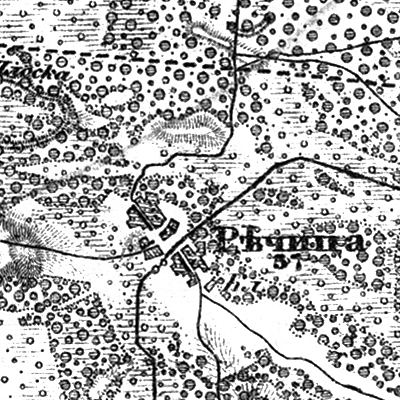
Richytsia, 1866—1887, map
1866–1887 · Wikimedia Commons

Plan des terrains à acquérir sur le territoire. des Batignolles pour. l'agrandissement du cimetière du Nord. dressé par le géométre de la ville de Paris
1850 · Wikimedia Commons