

Plan de Zinder Foureau
- Date
- December 31, 1905
- Place
- Niger
- Archive
- Wikimedia Commons
- Type
- map
- Original size
- 807 × 1,312 pixels
Public domainsafest
Reason: its maker died more than 70 years ago.
Read from: Commons licence category: PD-old-70-expired; no CC BY, CC BY-SA, GFDL or deletion tag on the file page.
Credit line
"Plan de Zinder Foureau" (December 31, 1905). Wikimedia Commons. Public domain. https://commons.wikimedia.org/wiki/File:Plan_de_Zinder_Foureau.jpgNeed maps for a whole project? Add Find Any Map to Claude and ask for this one by its id: 238315.
More like this
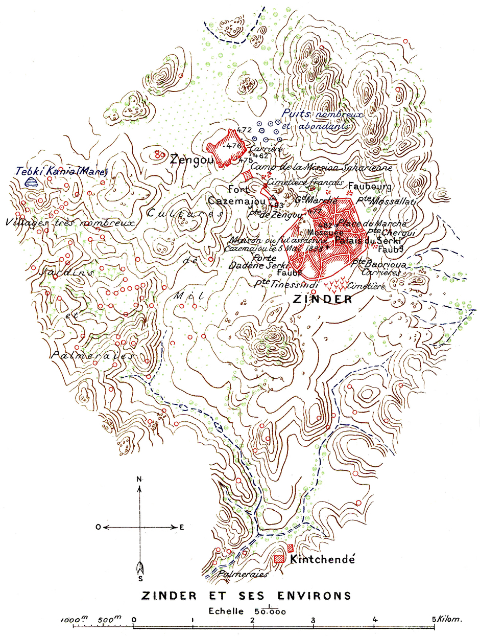
Mission Foureau-Lamy Zinder
December 31, 1905 · Wikimedia Commons
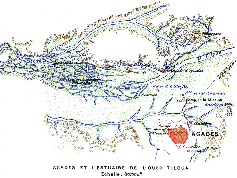
Mission Foureau-Lamy Agadès Tiloua
December 31, 1905 · Wikimedia Commons

Carte de l'Afrique occidentale française - dressée par A. Meunier et E. Barralier, 1903; Ministère des colonies. Service géographique et des missions. M. Barbotin, chef du service - btv1b530605988 (2 of 6) - crop Zinder
1904 · Wikimedia Commons

Mission Foureau-Lamy Damergou
December 31, 1905 · Wikimedia Commons

Carte de l'Afrique occidentale française - dressée par A. Meunier et E. Barralier, 1903; Ministère des colonies. Service géographique et des missions. M. Barbotin, chef du service - btv1b530605988 (2 of 6) - crop Ziban
1904 · Wikimedia Commons

Carte de l'Afrique occidentale française - dressée par A. Meunier et E. Barralier, 1903; Ministère des colonies. Service géographique et des missions. M. Barbotin, chef du service - btv1b530605988 (3 of 6) - crop Zermou
1904 · Wikimedia Commons

Carte de l'Afrique occidentale française - dressée par A. Meunier et E. Barralier, 1903; Ministère des colonies. Service géographique et des missions. M. Barbotin, chef du service - btv1b530605988 (3 of 6) - crop Izeroan
1904 · Wikimedia Commons

Carte de l'Afrique occidentale française - dressée par A. Meunier et E. Barralier, 1903; Ministère des colonies. Service géographique et des missions. M. Barbotin, chef du service - btv1b530605988 (2 of 6) - crop Goudel
1904 · Wikimedia Commons