

Piri Reis - Map of the Ambracian Gulf 2
Map of the Ambracian Gulf
- Date
- January 2, 1550
- Place
- the Ambracian Gulf
- Archive
- Wikimedia Commons
- Type
- map
- Original size
- 739 × 431 pixels
Public domainsafest
Reason: its maker died more than 70 years ago.
Read from: Commons licence category: PD-old-70-expired; no CC BY, CC BY-SA, GFDL or deletion tag on the file page.
Credit line
"Piri Reis - Map of the Ambracian Gulf 2" (January 2, 1550). Wikimedia Commons. Public domain. https://commons.wikimedia.org/wiki/File:Piri_Reis_-_Map_of_the_Ambracian_Gulf_2.jpgNeed maps for a whole project? Add Find Any Map to Claude and ask for this one by its id: 141664.
More like this

Piri Reis - Map of the Ambracian Gulf
Wikimedia Commons

Piri Re'is map of the coast of Vlora
1512 · Wikimedia Commons

Atlas factice des possessions de Venise et de l'Archipel
1571 · Greece
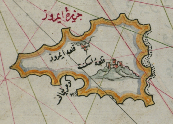
Piri Reis Imroz
1555 · Wikimedia Commons

Map of the Anatolian Coast Around the Bay of Izmir
Piri Reis

Map of the Anatolian Coast and the Small Kara Island
Piri Reis

Map of the Anatolian Coast Along the Kerme Bay
Piri Reis

Piri Reis-Mappa della costa italiana da Pisa alla Francia con Genova e Savona (bis) -Walters W658.246A
1467 · Wikimedia Commons