

Pinnacles National Monument - T. 16 & 17S. R. 7E
"N.M. PIN. 7001 4/3/40." Relief shown by hachures., Editorial Dept., date acquired no. 1527, 4/3/40." Includes location map.
- Date
- 1940
- Mapmaker / publisher
- United States. National Park Service
- Place
- California
- Archive
- Library of Congress (via Wikimedia Commons)
- Type
- map
- Original size
- 4,779 × 6,917 pixels
Public domainsafest
Reason: a US government work (NPS).
Read from: Commons licence category: PD US NPS; no CC BY, CC BY-SA, GFDL or deletion tag on the file page.
Credit line
"Pinnacles National Monument - T. 16 & 17S. R. 7E" (1940). United States. National Park Service. Library of Congress, Geography and Map Division, via Wikimedia Commons. Public domain. https://commons.wikimedia.org/wiki/File:Pinnacles_National_Monument_-_T._16_%26_17S._R._7E_LOC_2012588182.jpgNeed maps for a whole project? Add Find Any Map to Claude and ask for this one by its id: 135335.
More like this
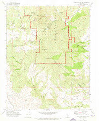
North Chalone Peak, California: USGS topographic map, 1:24,000 (1969–1995)
1969–1995 · 3 editions
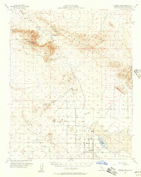
Fremont Peak, California: USGS topographic map, 1:62,500 (1956)
1956 · 2 editions
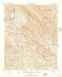
Priest Valley, California: USGS topographic map, 1:62,500 (1941–1956)
1941–1956 · 5 editions
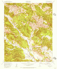
Parkfield, California: USGS topographic map, 1:24,000 (1942–1961)
1942–1961 · 4 editions
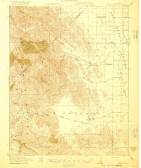
Pacheco Pass, California: USGS topographic map, 1:62,500 (1920–1940)
1920–1940 · 5 editions
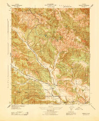
Parkfield, California: USGS topographic map, 1:31,680 (1943)
1943 · USGS Historical Topographic Map Collection
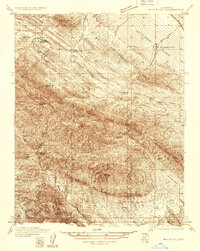
Reef Ridge, California: USGS topographic map, 1:31,680 (1934–1937)
1934–1937 · 3 editions
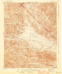
Panoche Valley, California: USGS topographic map, 1:62,500 (1944–1956)
1944–1956 · 4 editions