

Pine Bluff Battlefield Arkansas
Map of battlefield core and study areas. The ABPP revised the Study Area to better represent the battlefield terrain and to illustrate the routes taken by the Confederate cavalry (from where the various brigades broke off on their individual attack routes). The Study Area was also revised to include areas where skirmishing occurred throughout the city of Pine Bluff. The Core Area was reduced to the primary area of action around Pine Bluff Court House and the surrounding city blocks.
- Date
- January 3, 2011
- Mapmaker / publisher
- American Battlefield Protection Program
- Archive
- Wikimedia Commons
- Type
- map
- Original size
- 1,430 × 1,850 pixels
Public domainsafest
Reason: a US government work.
Read from: Commons licence category: PD US Government; no CC BY, CC BY-SA, GFDL or deletion tag on the file page.
Credit line
"Pine Bluff Battlefield Arkansas" (January 3, 2011). American Battlefield Protection Program, via Wikimedia Commons. Public domain. https://commons.wikimedia.org/wiki/File:Pine_Bluff_Battlefield_Arkansas.jpgNeed maps for a whole project? Add Find Any Map to Claude and ask for this one by its id: 978.
More like this

Pea Ridge Battlefield Arkansas
January 3, 2011 · Wikimedia Commons

Old River Lake Battlefield Arkansas
January 3, 2011 · Wikimedia Commons

Prairie Grove Battlefield Arkansas
January 3, 2011 · Wikimedia Commons

Prairie D'Ane Battlefield Arkansas
January 3, 2011 · Wikimedia Commons

Hill's Plantation Battlefield Arkansas
January 3, 2011 · Wikimedia Commons
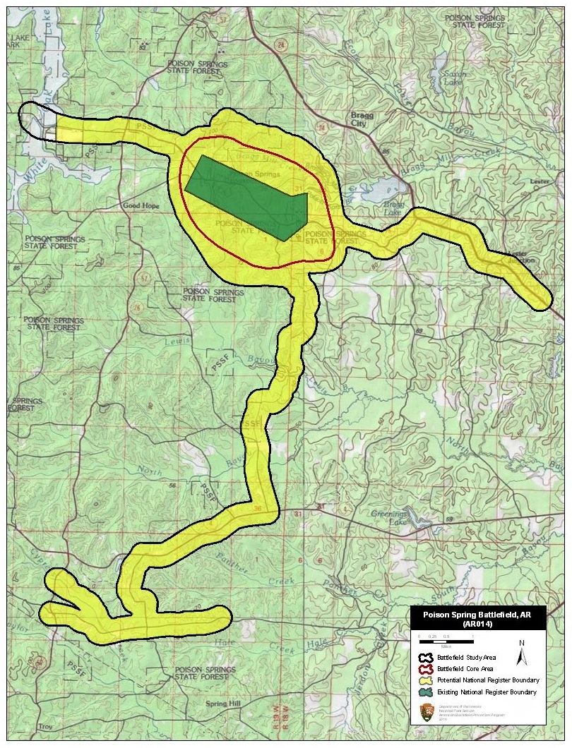
Poison Spring Battlefield Arkansas
January 3, 2011 · Wikimedia Commons

Marks Mills Battlefield Arkansas
January 3, 2011 · Wikimedia Commons

Devil's Backbone Battlefield Arkansas
December 20, 2010 · Wikimedia Commons