

Philips' Wireless Map of Great Britain - circa 1923
(per "5SC Glasgow is there (opened 6/3/1923) but 2BD Aberdeen isn't (opened 10/10/1923)")
- Date
- c. 1923
- Place
- the United Kingdom
- Archive
- Wikimedia Commons
- Type
- map
- Original size
- 5,000 × 6,507 pixels
Public domainsafest
Reason: its US copyright has expired (published before 1931).
Read from: Commons licence category: PD US expired; no CC BY, CC BY-SA, GFDL or deletion tag on the file page.
Credit line
"Philips' Wireless Map of Great Britain - circa 1923" (c. 1923). Wikimedia Commons. Public domain. https://commons.wikimedia.org/wiki/File:Philips%27_Wireless_Map_of_Great_Britain_-_circa_1923.jpgNeed maps for a whole project? Add Find Any Map to Claude and ask for this one by its id: 245547.
More like this
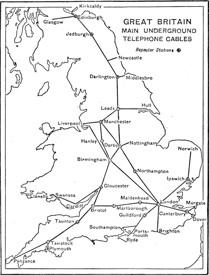
EB1922 Telephone - Great Britain - map of scheme for telephonic communication by means of underground cables and telephone repeaters
1922 · Wikimedia Commons

Air Routes of Great Britain
1925 · Wikimedia Commons

1922 (?) Radio map of the United States, by Leonard M. Clancy, from the Digital Commonwealth - commonwealth 4m90fd96v
c. 1922 · Wikimedia Commons

Philips Radio World Map 1935 (1938?)
1930 · Wikimedia Commons

Democratic Ideals and Reality, 1919 Fig 2 p 43
1919 · Wikimedia Commons

British isles ref 1926
1923 · Wikimedia Commons

Britische Inseln 1905
1905 · Wikimedia Commons

Daily Mail world map of war and commerce
1917 · Library of Congress