

Persia et India
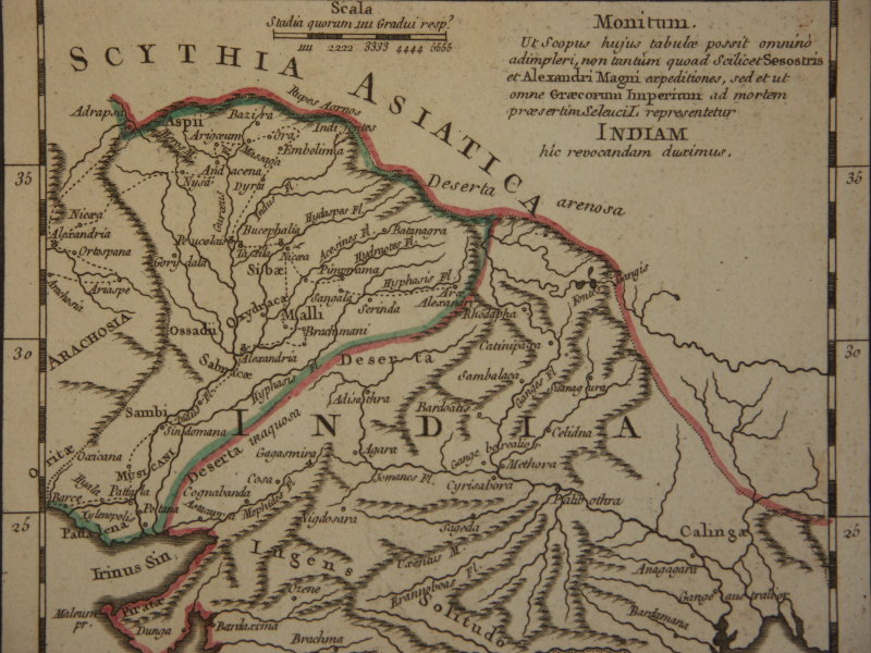
"Persia and India", Plate 17 from A School Atlas of Classical Geography, with an inset map of "Ptolemy's India".
- Date
- 1855
- Archive
- Wikimedia Commons
- Type
- atlas page
- Original size
- 755 × 600 pixels
Public domainsafest
Reason: its maker died more than 70 years ago.
Read from: Commons licence category: PD-old-70-expired; no CC BY, CC BY-SA, GFDL or deletion tag on the file page.
Credit line
"Persia et India" (1855). Wikimedia Commons. Public domain. https://commons.wikimedia.org/wiki/File:Persia_et_India.jpgNeed maps for a whole project? Add Find Any Map to Claude and ask for this one by its id: 257388.
More like this

Persia and Cabool
1850 · Library of Congress

India / by A. K. Johnston
Wikimedia Commons

Map of Persia and adjacent countries, for Sir John Malcolm's History of Persia
1815 · Library of Congress

Map of ancient Persia
1600 · Wikimedia Commons

Ptolemaic map of India and Southeast Asia from Martin Waldseemüller's 1513 edition of Ptolemy's Geographia.
1513 · Wikimedia Commons
Alexander's empire near India
1753 · Wikimedia Commons

Persia, Afghanistan and Beluchistan.
1883 · Library of Congress

Gerard de Jode version, Prime Partos Asia (Antwerp, 1577)
1577 · Wikimedia Commons