

Perim Island 1858 chart by Walker Lamb
1858 nautical chart of Perim Island, Red Sea, Bab el Mandeb, Yemen
- Date
- 1858
- Mapmaker / publisher
- Lamb Walker
- Place
- the Red Sea
- Archive
- Wikimedia Commons
- Type
- chart
- Original size
- 1,500 × 1,124 pixels
Public domainsafest
Reason: its maker died more than 70 years ago.
Read from: Commons licence category: PD-old-70-expired; no CC BY, CC BY-SA, GFDL or deletion tag on the file page.
Credit line
"Perim Island 1858 chart by Walker Lamb" (1858). Lamb Walker, via Wikimedia Commons. Public domain. https://commons.wikimedia.org/wiki/File:Perim_Island_1858_chart_by_Walker_Lamb.jpgNeed maps for a whole project? Add Find Any Map to Claude and ask for this one by its id: 242248.
More like this

Chart of the environs of Valentia Island, pub. 1809
1809 · Wikimedia Commons

Assab Bay
1884 · Wikimedia Commons

Chart of Port Mornington, and the adjacent Islands, pub. 1809
1809 · Wikimedia Commons

Admiralty Chart No 2736 India. West Coast. Gulf of Cutch to Viziadrug, Published 1860, Corrections to 1863
1863 · Wikimedia Commons

(H No. 5) Preliminary Reconnaissance of the Grand Pass the Entrance to Timballier Bay, Louisiana.
1853 · 1853 U.S.C.S. Map of Timbalier Bay

Admiralty Chart No 1401 Grand Port Mauritius, Published 1843
1843 · Wikimedia Commons
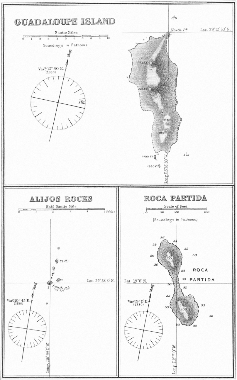
Guadaloupe Island Alijos Rocks Roca Partida 1881 sea chart
1881 · Wikimedia Commons

Egypt, Nubia, Abyssinia, and the Red Sea.
1858 · 1858 Dispatch Atlas Map of Egypt