
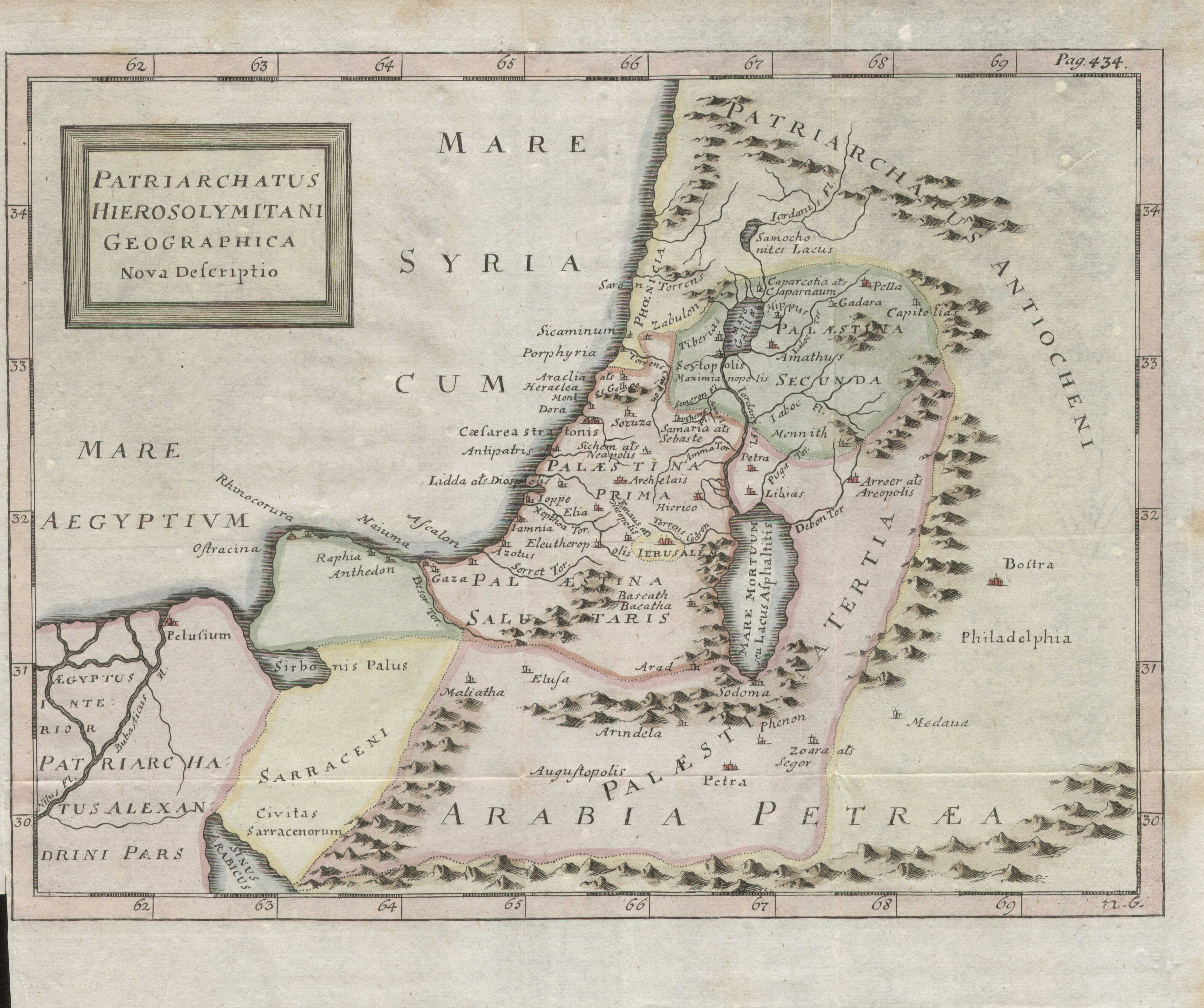
Patriarchatus Hierosolymitani geographica nova descriptio
- Archive
- Wikimedia Commons
- Type
- map
- Sheets
- 2
- Original size
- 3,387 × 2,836 pixels
Public domain
Reason: it is old enough that its unknown maker is presumed to have died more than 70 years ago.
This status rests on the map's publication history, as researched by Wikimedia Commons. Check it before commercial use.
Read from: Commons licence category: PD Old (assumed); no CC BY, CC BY-SA, GFDL or deletion tag on the file page.
Credit line
"Patriarchatus Hierosolymitani geographica nova descriptio". Wikimedia Commons. Public domain. https://commons.wikimedia.org/wiki/File:Patriarchatus_Hierosolymitani_geographica_nova_descriptio_(FL37119322_3897060).jpgNeed maps for a whole project? Add Find Any Map to Claude and ask for this one by its id: 246278.
All 2 sheets
Each sheet links to its file at the archive; the image link is the full-size scan.



More like this

Patriarchatus Hierosolymitani geographica descriptio
Wikimedia Commons

Patriarchatus Antiocheni Geographica descriptio
Wikimedia Commons

Patriarchatus Antiocheni
Wikimedia Commons

Patriarchatus Hierosolymitani geographica descriptio
1640 · Plate 2 of 3

Novae Ierosolymae et locorum circumiacentium accurata imago
Wikimedia Commons

Terra Sancta vita miraculis et passione Christi consecrata
Wikimedia Commons

Samariae Conterminarumq. Terrarum Delineatio
Wikimedia Commons

Bird's Eye View of the Holy Land
Wikimedia Commons