

Partizanski srem01
map of liberated partisan territory in Syrmia in the end of 1942
- Date
- June 29, 2009
- Place
- the Independent State of Croatia
- Archive
- Wikimedia Commons
- Type
- map
- Original size
- 1,420 × 1,245 pixels
Public domain
Reason: public domain: self.
This status rests on the map's publication history, as researched by Wikimedia Commons. Check it before commercial use.
Read from: Commons licence category: PD-self; no CC BY, CC BY-SA, GFDL or deletion tag on the file page.
Credit line
"Partizanski srem01" (June 29, 2009). Wikimedia Commons. Public domain. https://commons.wikimedia.org/wiki/File:Partizanski_srem01.pngNeed maps for a whole project? Add Find Any Map to Claude and ask for this one by its id: 23753.
More like this

Partizanski srem02
June 29, 2009 · Wikimedia Commons
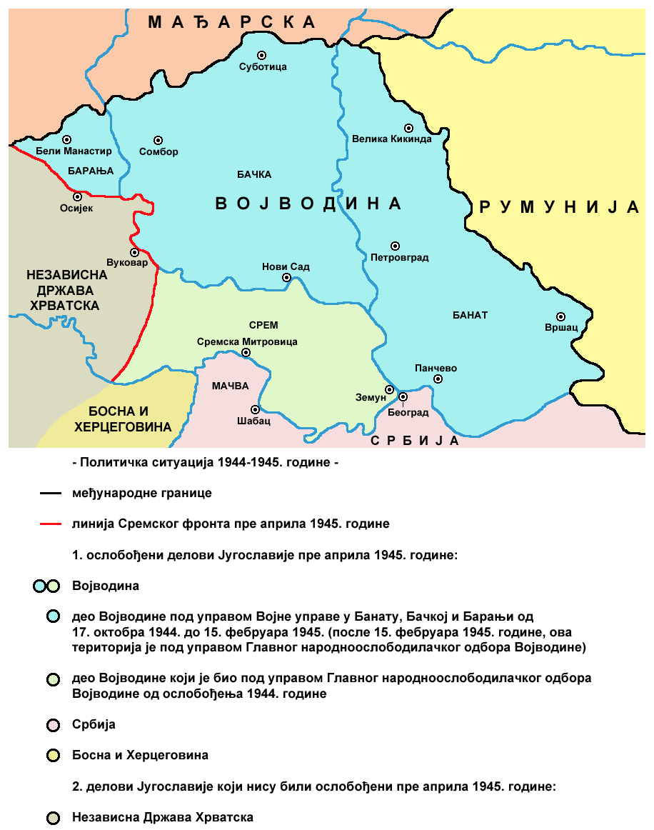
Vojvodina 1944 1945 02
June 29, 2009 · Wikimedia Commons

Vojvodina 1944 1945 01
June 29, 2009 · Wikimedia Commons

1944 Yugoslavia liberated territories
1944 · Wikimedia Commons

Occupation of vojvodina
April 14, 2007 · Wikimedia Commons

Serbia1941 1944 01
2012 · Wikimedia Commons

Jvuo1942 sr
2013 · Wikimedia Commons

Occupation of vojvodina-sr
Wikimedia Commons