

Panoramic view of the Mount Rainier National Park, Washington
Relief shown by spot heights. Bird's-eye view.
- Date
- 1914
- Mapmaker / publisher
- Renshawe, John H
- Place
- Washington
- Archive
- Library of Congress (via Wikimedia Commons)
- Type
- bird's-eye view
- Original size
- 6,667 × 6,447 pixels
Public domainsafest
Reason: its maker died more than 100 years ago.
Read from: Commons licence category: PD-old-100-expired; no CC BY, CC BY-SA, GFDL or deletion tag on the file page.
Credit line
"Panoramic view of the Mount Rainier National Park, Washington" (1914). Renshawe, John H. Library of Congress, Geography and Map Division, via Wikimedia Commons. Public domain. https://commons.wikimedia.org/wiki/File:Panoramic_view_of_the_Mount_Rainier_National_Park,_Washington_LOC_2017586295.jpgNeed maps for a whole project? Add Find Any Map to Claude and ask for this one by its id: 19105.
More like this

Panoramic view of the Yellowstone National Park, Wyoming-Montana-Idaho.
1915 · Geological Survey

Panoramic view of the Yellowstone National Park, Wyoming-Montana-Idaho.
1915 · U.S. Geological Survey
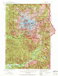
Mt Rainier, Washington: USGS topographic map, 1:125,000 (1924–1928)
1924–1928 · 11 editions
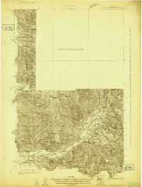
Mt Rainier, Washington: USGS topographic map, 1:96,000 (1924)
1924 · USGS Historical Topographic Map Collection

View of new Tacoma and Mount Rainier, Puget Sound, Washington Territory.
1878 · Library of Congress

Birds-eye view of the Puget Sound country.
1891 · Library of Congress

Yellowstone National Park, Northern Pacific Railroad.
1895 · Library of Congress

Yellowstone National Park.
1904 · Library of Congress