

Orthographic T&O
A modern orthographic map centered on Jerusalem, with south- east pointing up. Made for article T and O map, since those maps were also drawn this way.
- Date
- 2006
- Mapmaker / publisher
- Foobaz
- Place
- Earth's hemispheres – orthographic
- Archive
- Wikimedia Commons
- Type
- map
- Original size
- 1,806 × 1,806 pixels
Public domain
Reason: public domain: self.
This status rests on the map's publication history, as researched by Wikimedia Commons. Check it before commercial use.
Read from: Commons licence category: PD-self; no CC BY, CC BY-SA, GFDL or deletion tag on the file page.
Credit line
"Orthographic T&O" (2006). Foobaz, via Wikimedia Commons. Public domain. https://commons.wikimedia.org/wiki/File:Orthographic_T%26O.pngNeed maps for a whole project? Add Find Any Map to Claude and ask for this one by its id: 145880.
More like this

EB 1911 Map Fig 9
c. 1911 · Wikimedia Commons

Diagrammatic T-O world map - 12th century
1472 · Wikimedia Commons
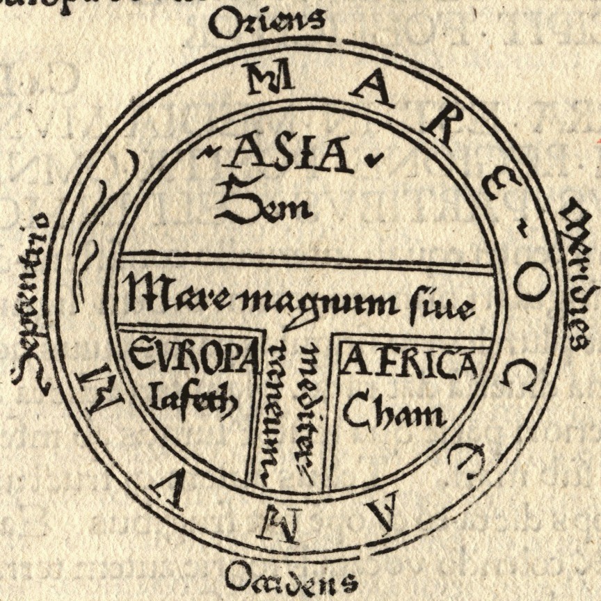
T and O map Guntherus Ziner 1472
1472 · Wikimedia Commons

Etimologías - Mapa del Mundo Conocido
1472 · Wikimedia Commons

Ravenna mappa mundi, c.650
1898 · Wikimedia Commons

Maps in a Work of Isidor
Wikimedia Commons

Album of Persian Costumes and Animals with Some Drawings by Kaempfer
1684–1685 · 3 sheets

Macrobius' world map
1483–1524 · 2 sheets