

Operational Navigation Chart A-1, 1st edition
1:1,000,000 scale Operational Navigation Chart, Sheet A-1, 1st edition.; Covers Greenland (Denmark) and Svalbard (Norway).; Polar Stereographic Projection. ** Central longitude 0 47 30W.
- Mapmaker / publisher
- Aeronautical Chart and Information Center, U. S. Air Force, St. Louis, Mo
- Place
- Svalbard
- Archive
- Wikimedia Commons
- Type
- chart
- Original size
- 9,254 × 6,693 pixels
Public domainsafest
Reason: a US government work.
Read from: Commons licence category: PD US Government; no CC BY, CC BY-SA, GFDL or deletion tag on the file page.
Credit line
"Operational Navigation Chart A-1, 1st edition". Aeronautical Chart and Information Center, U. S. Air Force, St. Louis, Mo, via Wikimedia Commons. Public domain. https://commons.wikimedia.org/wiki/File:Operational_Navigation_Chart_A-1,_1st_edition.jpgNeed maps for a whole project? Add Find Any Map to Claude and ask for this one by its id: 295363.
More like this

Operational Navigation Chart D-15, 4th edition
1984 · Wikimedia Commons

ONC map of North Greenland at scale 1:1,000,000
1969 · Wikimedia Commons

Operational Navigation Chart G-6, 7th edition
1982 · Wikimedia Commons

Operational Navigation Chart G-7, 6th edition
1974–1980 · Wikimedia Commons
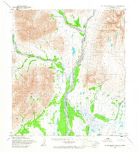
De Long Mountains A-1, Alaska: USGS topographic map, 1:63,360 (1955)
1955 · USGS Historical Topographic Map Collection
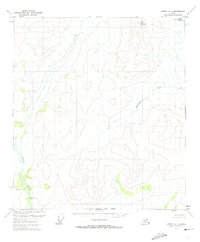
Arctic A-1, Alaska: USGS topographic map, 1:63,360 (1972)
1972 · USGS Historical Topographic Map Collection

Iceland, topographic map (special mosaic sheet of International Map of the World 1:1,000,000
1952 · Wikimedia Commons
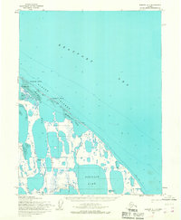
Barrow A-1, Alaska: USGS topographic map, 1:63,360 (1955)
1955 · USGS Historical Topographic Map Collection