

Official map of Cascade County, Montana - also the adjacent mining regions of the Belt Mountains
Relief shown by hachures and spot heights. Shows landownership. Includes text and statistic chart. "Approved S S Hawkins, Chairman Board of County Commissioners."
- Date
- 1890
- Mapmaker / publisher
- Mortson, O. C
- Place
- Cascade County, Montana
- Archive
- Library of Congress (via Wikimedia Commons)
- Type
- map
- Original size
- 12,741 × 8,774 pixels
Public domainsafest
Reason: its maker died more than 100 years ago.
Read from: Commons licence category: PD-old-100-expired; no CC BY, CC BY-SA, GFDL or deletion tag on the file page.
Credit line
"Official map of Cascade County, Montana - also the adjacent mining regions of the Belt Mountains" (1890). Mortson, O. C. Library of Congress, Geography and Map Division, via Wikimedia Commons. Public domain. https://commons.wikimedia.org/wiki/File:Official_map_of_Cascade_County,_Montana_-_also_the_adjacent_mining_regions_of_the_Belt_Mountains_LOC_2002626670.jpgNeed maps for a whole project? Add Find Any Map to Claude and ask for this one by its id: 18883.
More like this

Topographical map of Lewis and Clarke County, Montana, 1890
1890 · Library of Congress

Map of the territory of Montana with portions of the adjoining territories - showing the gulch or placer diggings actually worked and districts where quartz (gold & silver) lodes have been discovered
1865 · Library of Congress

Map of the territory of Montana with portions of the adjoining territories - showing the gulch or placer diggings actually worked and districts where quartz (gold & silver) lodges have been discovered
1865 · Library of Congress

Sanborn Fire Insurance Map from Belt, Cascade County, Montana, 1897
1897 · 2 sheets
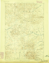
Little Belt Mts., Montana: USGS topographic map, 1:250,000 (1886–1902)
1886–1902 · 7 editions
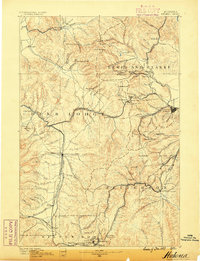
Helena, Montana: USGS topographic map, 1:250,000 (1889–1903)
1889–1903 · 8 editions
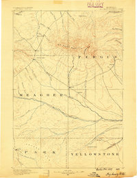
Big Snowy Mountain, Montana: USGS topographic map, 1:250,000 (1889–1893)
1889–1893 · 5 editions

Sanborn Fire Insurance Map from Great Falls, Cascade County, Montana, 1891, volume 2
1891 · 21 sheets