

Oak Ridge area 1942
Projected Site for Atomic Production Plants, 1942
- Date
- 1985
- Mapmaker / publisher
- Arthur S. Hardyman
- Archive
- Wikimedia Commons
- Type
- map
- Original size
- 730 × 559 pixels
Public domain
Reason: a US government work.
This status rests on the map's publication history, as researched by Wikimedia Commons. Check it before commercial use.
Read from: Commons licence category: PD US Government; no CC BY, CC BY-SA, GFDL or deletion tag on the file page; Commons tags it as a US government work, but its record names no government maker.
Credit line
"Oak Ridge area 1942" (1985). Arthur S. Hardyman, via Wikimedia Commons. Public domain. https://commons.wikimedia.org/wiki/File:Oak_Ridge_area_1942.jpgNeed maps for a whole project? Add Find Any Map to Claude and ask for this one by its id: 23274.
More like this
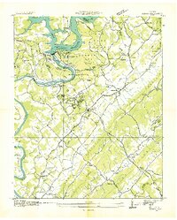
Norris, Tennessee: USGS topographic map, 1:24,000 (1936–1973)
1936–1973 · 8 editions
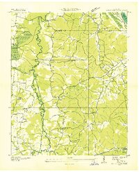
Poplar Creek, Tennessee: USGS topographic map, 1:24,000 (1936–1949)
1936–1949 · 4 editions

Clinch-Powell rivers basin, Tennessee portion - Anderson, Campbell, Claiborne, Grainger, Hancock, Hawkins, and Union counties, Tennessee
1992 · Library of Congress

Vicinity map of the suggested Cove Creek Reservoir.
1925 · Library of Congress
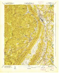
Lake City, Tennessee: USGS topographic map, 1:24,000 (1947–1973)
1947–1973 · 4 editions
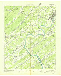
Clinton, Tennessee: USGS topographic map, 1:24,000 (1936–1968)
1936–1968 · 8 editions

Great Smoky Mountains National Park.
1935 · Library of Congress

Clinch-Powell rivers basin, Tennessee portion - Anderson, Campbell, Claiborne, Grainger, Hancock, Hawkins, and Union counties, Tennessee
1992 · Library of Congress