

NY nantucket1976
- Archive
- Wikimedia Commons
- Type
- chart
- Original size
- 596 × 427 pixels
Public domainsafest
Reason: a US government work.
Read from: Commons licence category: PD US Government; no CC BY, CC BY-SA, GFDL or deletion tag on the file page.
Credit line
"NY nantucket1976". Wikimedia Commons. Public domain. https://commons.wikimedia.org/wiki/File:NY_nantucket1976.jpegNeed maps for a whole project? Add Find Any Map to Claude and ask for this one by its id: 294886.
More like this

Nantucket Harbor
1976 · Library of Congress

Chart of Nantucket Island and the eastern half of Martha's Vineyard.
1776 · Library of Congress

Chart of Nantucket Island and the eastern half of Martha's Vineyard.
1776 · Library of Congress
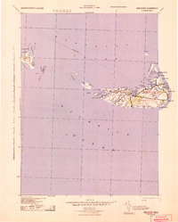
Nantucket, Massachusetts: USGS topographic map, 1:125,000 (1942)
1942 · USGS Historical Topographic Map Collection
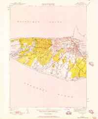
Nantucket, Massachusetts: USGS topographic map, 1:24,000 (1951–1977)
1951–1977 · 7 editions

Coast of New England from Chatham Harbor to Narragansett Bay.
1779 · Library of Congress
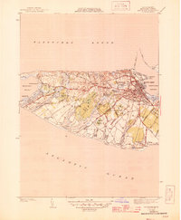
Nantucket, Massachusetts: USGS topographic map, 1:31,680 (1945–1951)
1945–1951 · 5 editions

Part of Long Island; and the coast eastward to the shoals of Nantucket.
1778 · Library of Congress