

Nps pensacola bay sketch
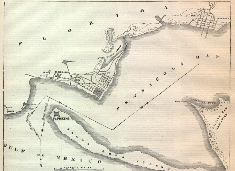
Drawing of Pensacola Bay showing placement of three defensive positions.
- Date
- August 20, 2005
- Mapmaker / publisher
- National Park Service
- Place
- the history of Florida
- Archive
- Wikimedia Commons
- Type
- map
- Original size
- 458 × 321 pixels
Public domainsafest
Reason: a US government work (NPS).
Read from: Commons licence category: PD US NPS; no CC BY, CC BY-SA, GFDL or deletion tag on the file page; permission field: This article or image contains material based on a work of a National Park Service employee, created during the course o.
Credit line
"Nps pensacola bay sketch" (August 20, 2005). National Park Service, via Wikimedia Commons. Public domain. https://commons.wikimedia.org/wiki/File:Nps_pensacola_bay_sketch.PNGNeed maps for a whole project? Add Find Any Map to Claude and ask for this one by its id: 378.
More like this

Fort Pickens, Fla., and vicinity. Showing the positions and strength of the Enemy's Batteries, so far as known by actual observation, and also of our own sand Batteries. Signed Lt. Walter McFarland, U. S. Corps Engineers, Fort Pickens, June 10, 1861.
June 10, 1861 · U.S. National Archives

Sketch of Pensacola Navy Yard and Fort Pickens from U.S. coast surveys.
1860 · Library of Congress
American Civil War map of Pensacola Bay.
February 9, 1861 · Wikimedia Commons

Charts of Savannah River, Pensacola Bay, and Key West. Showing the positions of the several fortifications. From the United States Coast Survey
1861 · Library of Congress

Fort Pickens, Florida
November 22, 1862 · Library of Congress

Bay of Pensacola, fortification.
1781 · Library of Congress

Map showing entrance to Mobile Bay and course taken by Union fleet.
August 5, 1864 · Library of Congress

No. 2 plan of fort for Sta. Rosa Id., Pensacola Harbour, shewing the general dimensions and the relations of the several parts of the work.
1860 · Library of Congress