
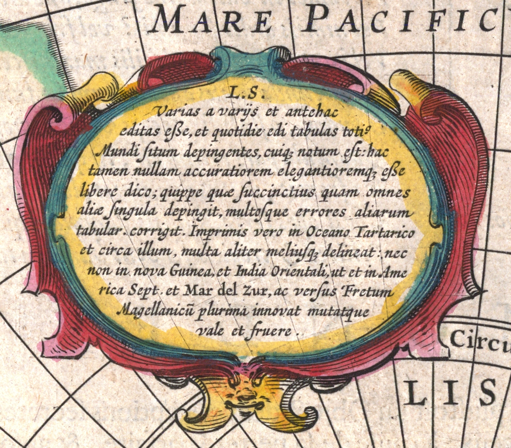
Nova totius terrarum orbis geographica ac hydrographica tabula
/ Auct Henr Hondio
- Archive
- Wikimedia Commons
- Type
- map
- Sheets
- 5
- Original size
- 1,625 × 1,309 pixels
Public domain
Reason: its maker died more than 100 years ago.
This status rests on the map's publication history, as researched by Wikimedia Commons. Check it before commercial use.
Read from: Commons licence category: PD-old-100-expired; no CC BY, CC BY-SA, GFDL or deletion tag on the file page.
Credit line
"Nova totius terrarum orbis geographica ac hydrographica tabula". Wikimedia Commons. Public domain. https://commons.wikimedia.org/wiki/File:America._Henricus_Hondius_II,_Nova_totius_terrarum_orbis_geographica_ac_hydrographica_tabula_(FL10521679_2718553)_(crop1_light)_(cropped).jpgNeed maps for a whole project? Add Find Any Map to Claude and ask for this one by its id: 145187.
All 5 sheets
Each sheet links to its file at the archive; the image link is the full-size scan.



More like this

Ivdocvs Hondivs Flander
Wikimedia Commons

NOVA TOTIUS TERRARUM ORBIS GEOGRAPHICA AC HYDROGRAPHICA TABULA
Wikimedia Commons

Nova totivs terrarvm orbis geographica ac hydrographica tabvla / auct. Henr. Hondio
1630 · Wikimedia Commons

Nova totius terrarum orbis geographica ac hydrographica tabula
1617 · Wikimedia Commons

Nova totius terrarum orbis geographica ac hydrographica tabula / auct. Henr. Hondio
1630 · Wikimedia Commons

Nova totivs terrarvm orbis geographica ac hydrographica tabvla / auct. Henr. Hondio
1663 · Wikimedia Commons

Nova totius terrarum orbis tabula
Wikimedia Commons

Nova totius terrarum orbis geographica ac hydrographica tabula - auct. Guiljelmo Blaeuw; Ja. van den Ende sculpsit. NYPL465003
c. 1635 · New York Public Library