

Noachide map from the Abbey library of Saint Gall (oldest map naming Europe), Isidore-Codex 236
Ecce sic diviserunt terram filii noe post diluvium (Lo thus did the sons of Noah divide the world after the Flood); Tanai. Fluv. (River Don); Nilus Fluv. (River Nile); Meotides Paludes (Sea of Azov)
- Mapmaker / publisher
- Isidore of Seville
- Archive
- Wikimedia Commons
- Type
- map
- Original size
- 737 × 576 pixels
Public domain
Reason: a US government work.
This status rests on the map's publication history, as researched by Wikimedia Commons. Check it before commercial use.
Read from: Commons licence category: PD US; no CC BY, CC BY-SA, GFDL or deletion tag on the file page.
Credit line
"Noachide map from the Abbey library of Saint Gall (oldest map naming Europe), Isidore-Codex 236". Isidore of Seville, via Wikimedia Commons. Public domain. https://commons.wikimedia.org/wiki/File:Noachide_map_from_the_Abbey_library_of_Saint_Gall_(oldest_map_naming_Europe),_Isidore-Codex_236.pngNeed maps for a whole project? Add Find Any Map to Claude and ask for this one by its id: 145884.
More like this

EB 1911 Map Fig 9
c. 1911 · Wikimedia Commons

Maps in a Work of Isidor
Wikimedia Commons
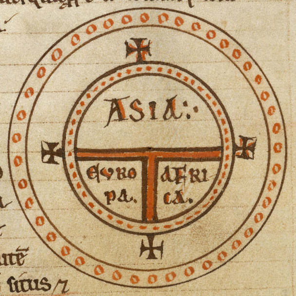
Diagrammatic T-O world map - 12th c
Wikimedia Commons
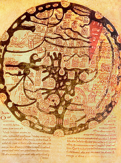
A map of the known world (mappa mundi) from an 11th century copy of the writings of Isidore of Seville (AD 560-636). East is placed at top, and the Red Sea is shown in red, as usual for such maps. Ima
Wikimedia Commons

Abbo of Fleury, Map of the world
1833 · Wikimedia Commons
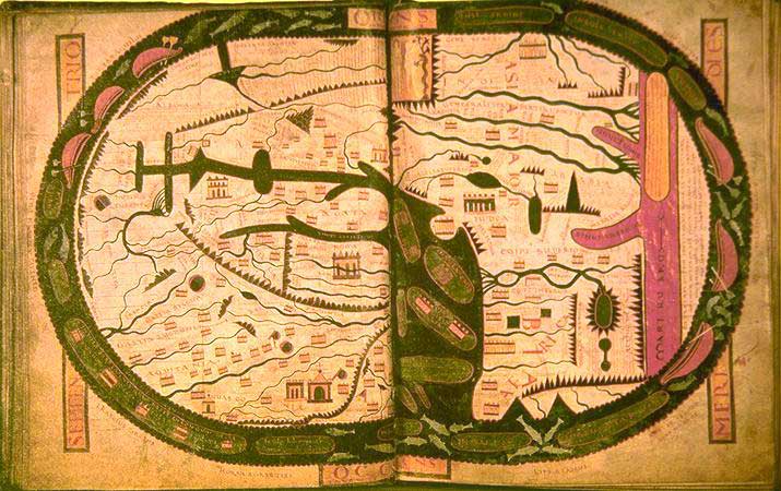
World map.
Wikimedia Commons

Diagrammatic T-O world map - 12th century
1472 · Wikimedia Commons

Etimologías - Mapa del Mundo Conocido
1472 · Wikimedia Commons