

New and Correct Map of the Pacific or Southern Ocean
South America
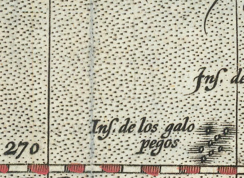
Excerpt of the Galapagos Islands from a map of the west coast of Central and South America and the Galapagos Islands, supposedly revised from the best news of Spanish pilots and most accurate astronomical and nautical observations, with Roman numerals denoting magnetic variation.
- Date
- 1748
- Mapmaker / publisher
- Vicente de la Fuente Jorge Juan y Jantacilia Antonio de Ulloa
- Place
- South America
- Archive
- Wikimedia Commons
- Type
- map
- Original size
- 1,150 × 564 pixels
Public domainsafest
Reason: its US copyright has expired (published before 1931).
Read from: Commons licence category: PD US expired; no CC BY, CC BY-SA, GFDL or deletion tag on the file page.
Credit line
"New and Correct Map of the Pacific or Southern Ocean" (1748). Vicente de la Fuente Jorge Juan y Jantacilia Antonio de Ulloa, via Wikimedia Commons. Public domain. https://commons.wikimedia.org/wiki/File:Nueva_y_Correcta_Carta_del_Mar_Pacifico_Galapagos_3.jpgNeed maps for a whole project? Add Find Any Map to Claude and ask for this one by its id: 305841.
More like this

New and Correct Map of the Pacific or Southern Ocean
1744 · South America

New and Correct Map of the Pacific or Southern Ocean
1748 · Vicente de la Fuente Jorge Juan y Jantacilia Antonio de Ulloa, Chile

New and Correct Map of the Pacific or Southern Ocean
1744 · Chile

Isles Galapagos
Wikimedia Commons

Les Isles de Gallapagos découvertes par le Cap. Jean Eaton
1700–1799 · Wikimedia Commons

Carta esférica que compde. una pte. del Archipielago de los Galapagos desde 1⁰ 35 ms. de latd. sept. hasta 1⁰ de la meridional reconocidos por la Fragta. Sta. Gertrudiz del man(?) del Capitan de
1700 · Library of Congress

Carte française de la côte américaine du Pacifique, depuis la Baie d'Amapala jusqu'à Coquimbo
1600–1799 · Chile, plate 1 of 2
Insulae de los Galopegos
1595 · Wikimedia Commons