

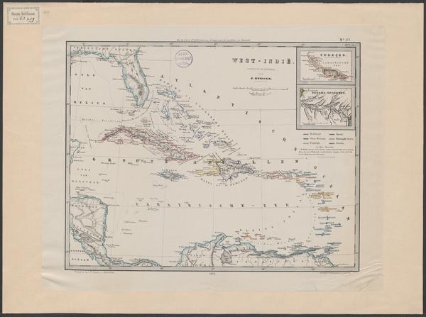
Nederlands bezittingen in Amerika 1850
- Date
- 1850
- Archive
- Wikimedia Commons
- Type
- map
- Original size
- 600 × 503 pixels
Public domainsafest
Reason: its maker died more than 100 years ago.
Read from: Commons licence category: PD-old-100-expired; no CC BY, CC BY-SA, GFDL or deletion tag on the file page.
Credit line
"Nederlands bezittingen in Amerika 1850" (1850). Wikimedia Commons. Public domain. https://commons.wikimedia.org/wiki/File:Item_53230.jpgNeed maps for a whole project? Add Find Any Map to Claude and ask for this one by its id: 294659.
More like this

Bezittingen in West-Indie
Wikimedia Commons

BNA-DIG-KOSTBARE-0440-MAP-001 De Nederlandsche Bezittingen in Amerika 1872 Reisindrukken uit West-Indië
1872 · Wikimedia Commons

Carte générale des possesions Néerlandaises aux Indes Occidentales
Wikimedia Commons

De Caraïbische eilanden
Wikimedia Commons

Kaart van de Nederlandse Antillen Generale verzamelkaart der Nederlandsche Westindische Bezittingen (titel op object), NG-1064-10
1860–1862 · Hispaniola
West-Indië
Wikimedia Commons

Kaart van de Nederlandse Antillen Generale verzamelkaart der Nederlandsche Westindische Bezittingen (titel op object), NG-1064-10 (cropped4)
1860–1862 · Wikimedia Commons

De Caraïbische eilanden =
Wikimedia Commons