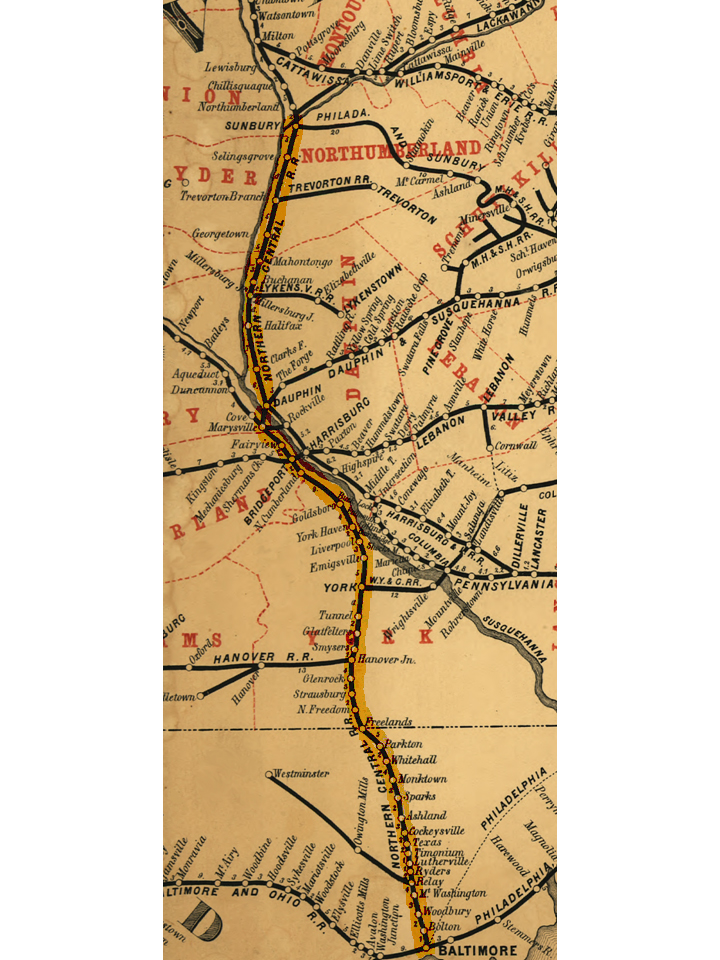

NCRY map 1863
Map of. The railroad came under the control of the in 1861. Original map cropped and NCRY line highlighted.
- Date
- 1863
- Mapmaker / publisher
- Barrington, W
- Archive
- Library of Congress (via Wikimedia Commons)
- Type
- map
- Original size
- 720 × 960 pixels
Public domain
Reason: a US government work.
This status rests on the map's publication history, as researched by Wikimedia Commons. Check it before commercial use.
Read from: Commons licence category: PD US; no CC BY, CC BY-SA, GFDL or deletion tag on the file page.
Credit line
"NCRY map 1863" (1863). Barrington, W. Library of Congress, Geography and Map Division, via Wikimedia Commons. Public domain. https://commons.wikimedia.org/wiki/File:NCRY_map_1863.jpgNeed maps for a whole project? Add Find Any Map to Claude and ask for this one by its id: 18457.
More like this

New railway guide containing all the rail roads in Pennsylvania & N. Jersey with portions of New York, Ohio, Maryland & Virginia.
1863 · Library of Congress

(Map of parts of Pennsylvania, Maryland, and Virginia covering areas from Harrisburg to Leesburg, and from Hancock to Baltimore).
1863 · Library of Congress

Map of Pennsylvania Railroad with its connections, showing the different routes, projected or constructed between the seaboard & the western states.
1851 · Library of Congress

Northern Virginia Map - Potomac, Fredericksburg, & Piedmont Railroad
Library of Congress

The North Pennsylvania Rail Road and its connections, Octr. 1853.
1853 · Library of Congress

A correct map of the Pennsylvania Central Rail Road with its branches & connections, the shortest & quickest route between the east & west.
1854 · Library of Congress

Portions of the military departments of Virginia, Washington, Middle & the Susquehanna
1863 · Library of Congress

Through route west to Pittsburg (sic)
1853 · Library of Congress