

Moorgate Hollar
"Moore-gate" (Moorgate), a crop of a 1690 map of London with boxed illustrations of the gates of below plan of city (full map).|Source=
- Date
- 1607–1690
- Mapmaker / publisher
- British Library |date=}}
- Archive
- Wikimedia Commons
- Type
- map
- Original size
- 523 × 569 pixels
Public domainsafest
Reason: public domain: Art (PD-US).
Read from: Commons licence category: PD-Art (PD-US); no CC BY, CC BY-SA, GFDL or deletion tag on the file page.
Credit line
"Moorgate Hollar" (1607–1690). British Library |date=}}, via Wikimedia Commons. Public domain. https://commons.wikimedia.org/wiki/File:Moorgate_Hollar.PNGNeed maps for a whole project? Add Find Any Map to Claude and ask for this one by its id: 293265.
More like this

Newgate Hollar
1607–1690 · Wikimedia Commons

Aldersgate Hollar
1607–1690 · Wikimedia Commons

Aldgate Hollar
1607–1690 · Wikimedia Commons

Bishopsgate Hollar
1607–1690 · Wikimedia Commons

Ludgate Hollar
1607–1690 · Wikimedia Commons
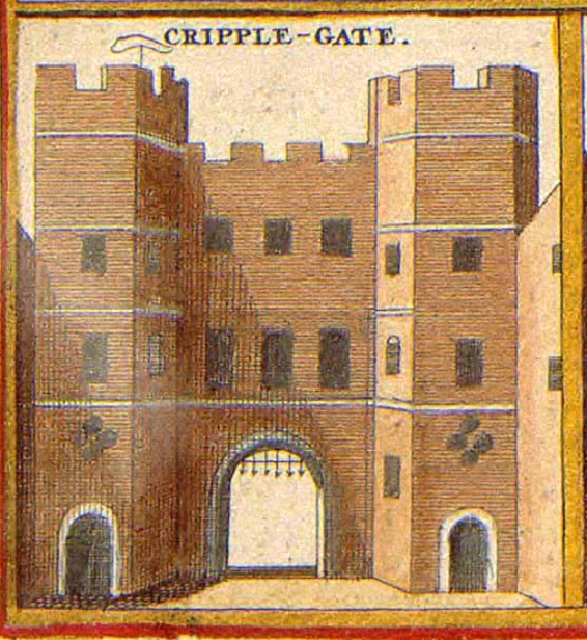
Cripplegate Hollar
1607–1690 · Wikimedia Commons

17th century map of London (W.Hollar)
1688 · Wikimedia Commons

Creplegate Ward.
1720 · BM Heal,Topography.208