

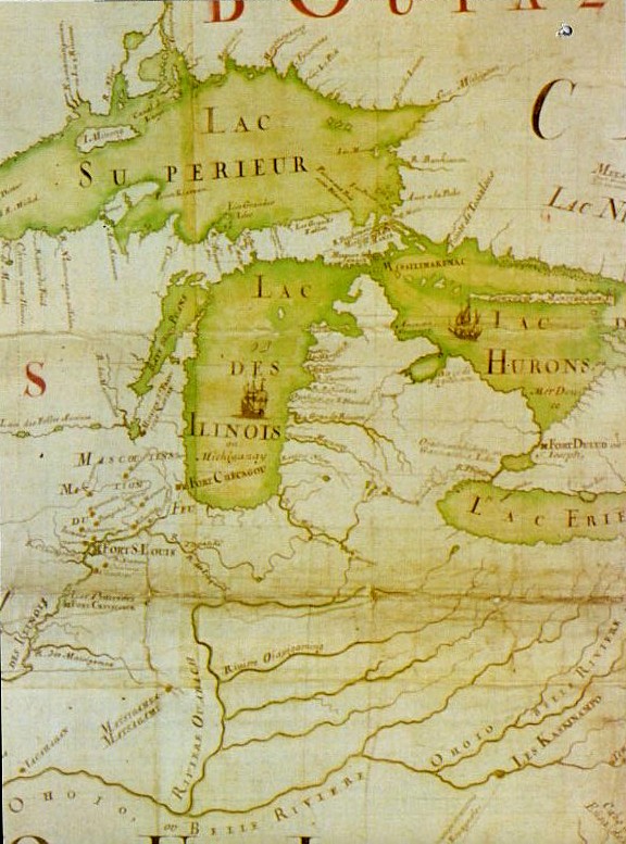
Mitchell Map-excerpt02
A part of the Mitchell Map - A map of the British and French dominions in North America,.; 1757 Excerpt showing Michigan area.
- Date
- 1755–1757
- Mapmaker / publisher
- John Mitchell; digital version
- Place
- Michigan
- Archive
- Library of Congress (via Wikimedia Commons)
- Type
- map
- Original size
- 1,735 × 1,200 pixels
Public domainsafest
Reason: public domain: scan (PD-old-100).
Read from: Commons licence category: PD-scan (PD-old-100); no CC BY, CC BY-SA, GFDL or deletion tag on the file page.
Credit line
"Mitchell Map-excerpt02" (1755–1757). John Mitchell; digital version. Library of Congress, Geography and Map Division, via Wikimedia Commons. Public domain. https://commons.wikimedia.org/wiki/File:Mitchell_Map-excerpt02.jpgNeed maps for a whole project? Add Find Any Map to Claude and ask for this one by its id: 18251.
More like this

Mitchell Map-full
1755–1757 · Library of Congress

Mitchell Map-excerpt01
1755–1757 · Library of Congress

Mitchell Map-excerpt03
1755–1757 · Library of Congress
Amerique Septentrionale JBF 1688-detail
1688 · Wikimedia Commons

A map of the British and French dominions in North America, with the roads, distances, limits, and extent of the settlements, humbly inscribed to the Right Honourable the Earl of Halifax, and the
1757 · Library of Congress

Mitchell map michigan
1755–1757 · Library of Congress

The "Evans-Pownall" map of eastern North America.
c. 1755 · Library of Congress

Partie occidentale de la Nouvelle France ou Canada
1745 · New York Public Library