

Mer Orientale 1700
- Date
- 1700
- Place
- Japan
- Archive
- Wikimedia Commons
- Type
- map
- Original size
- 626 × 608 pixels
Public domainsafest
Reason: its maker died more than 100 years ago.
Read from: Commons licence category: PD-old-100-expired; no CC BY, CC BY-SA, GFDL or deletion tag on the file page.
Credit line
"Mer Orientale 1700" (1700). Wikimedia Commons. Public domain. https://commons.wikimedia.org/wiki/File:Mer_Orientale_1700.jpgNeed maps for a whole project? Add Find Any Map to Claude and ask for this one by its id: 240902.
More like this

Mer Orientale, où l'on trouve l'isle de Jedso, de laquelle on doutoit si c'étoit une isle ou non
1724–1729 · Wikimedia Commons

1730 map of Asia by Guillaume de L'Isle
1730 · Wikimedia Commons
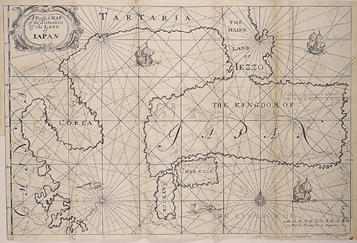
A Perfect Map of the Situation of the Land of Iapan
1663 · Wikimedia Commons

A Portuguese map of East and Southeast Asia with the Tordesillas / Zaragoza meridian, after the exploration of Maarten Gerritszoon Vries 1643 but showing "Joao da Gama Land" (1580s) instead of "Company Land". Supposedly 18th century according to Gallica but either 17th century or copied directly fro
1643 · Wikimedia Commons

Map of Japan, Korea and west America
1690–1743 · AMH-5177-NA Map of Japan

Delisle Asie3
1700 · Wikimedia Commons

Delisle Asie3b
1700 · Wikimedia Commons

Erdglobus aus Salem img04
c. 1792 · Wikimedia Commons