

Massachusetts 1-25,000. Camp Edwards
Scale 1:25,000. "Road data 1974. Other information 1972." Standard map series ddsignation: Series V814S. "Projection: Transverse Mercator." Relief shown by contours and spot heights. "Special map." AACR2: 710/1
- Date
- 1979
- Mapmaker / publisher
- United States. Army. Corps Of Engineers. Engineer Company (Topographic), 955Th.; United States. Defense Mapping Agency. Hydrographic/Topographic Center
- Place
- Massachusetts
- Scale
- 1:25,000
- Archive
- Library of Congress (via Wikimedia Commons)
- Type
- map
- Original size
- 6,429 × 8,673 pixels
Public domainsafest
Reason: a US government work.
Read from: Commons licence category: PD US Government; no CC BY, CC BY-SA, GFDL or deletion tag on the file page.
Credit line
"Massachusetts 1-25,000. Camp Edwards" (1979). United States. Army. Corps Of Engineers. Engineer Company (Topographic), 955Th.; United States. Defense Mapping Agency. Hydrographic/Topographic Center. Library of Congress, Geography and Map Division, via Wikimedia Commons. Public domain. https://commons.wikimedia.org/wiki/File:Massachusetts_1-25,000._Camp_Edwards_LOC_79694499.jpgNeed maps for a whole project? Add Find Any Map to Claude and ask for this one by its id: 18022.
More like this

Massachusetts 1-25,000. Camp Edwards
1960 · Library of Congress
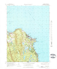
Manomet, Massachusetts: USGS topographic map, 1:25,000 (1977)
1977 · 3 editions
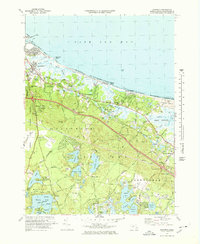
Sandwich, Massachusetts: USGS topographic map, 1:25,000 (1972–1977)
1972–1977 · 3 editions
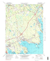
Marion, Massachusetts: USGS topographic map, 1:25,000 (1977)
1977 · 4 editions
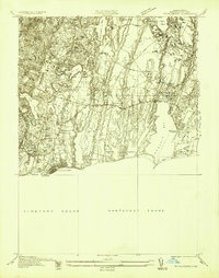
Falmouth, Massachusetts: USGS topographic map, 1:25,000 (1936–1977)
1936–1977 · 6 editions
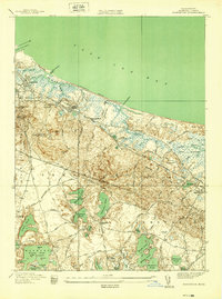
Sandwich, Massachusetts: USGS topographic map, 1:24,000 (1939–1972)
1939–1972 · 5 editions
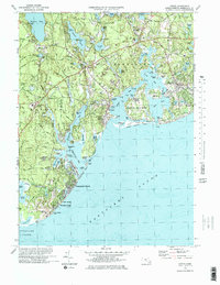
Cotuit, Massachusetts: USGS topographic map, 1:25,000 (1974)
1974 · USGS Historical Topographic Map Collection
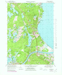
Sagamore, Massachusetts: USGS topographic map, 1:25,000 (1967–1977)
1967–1977 · 3 editions