
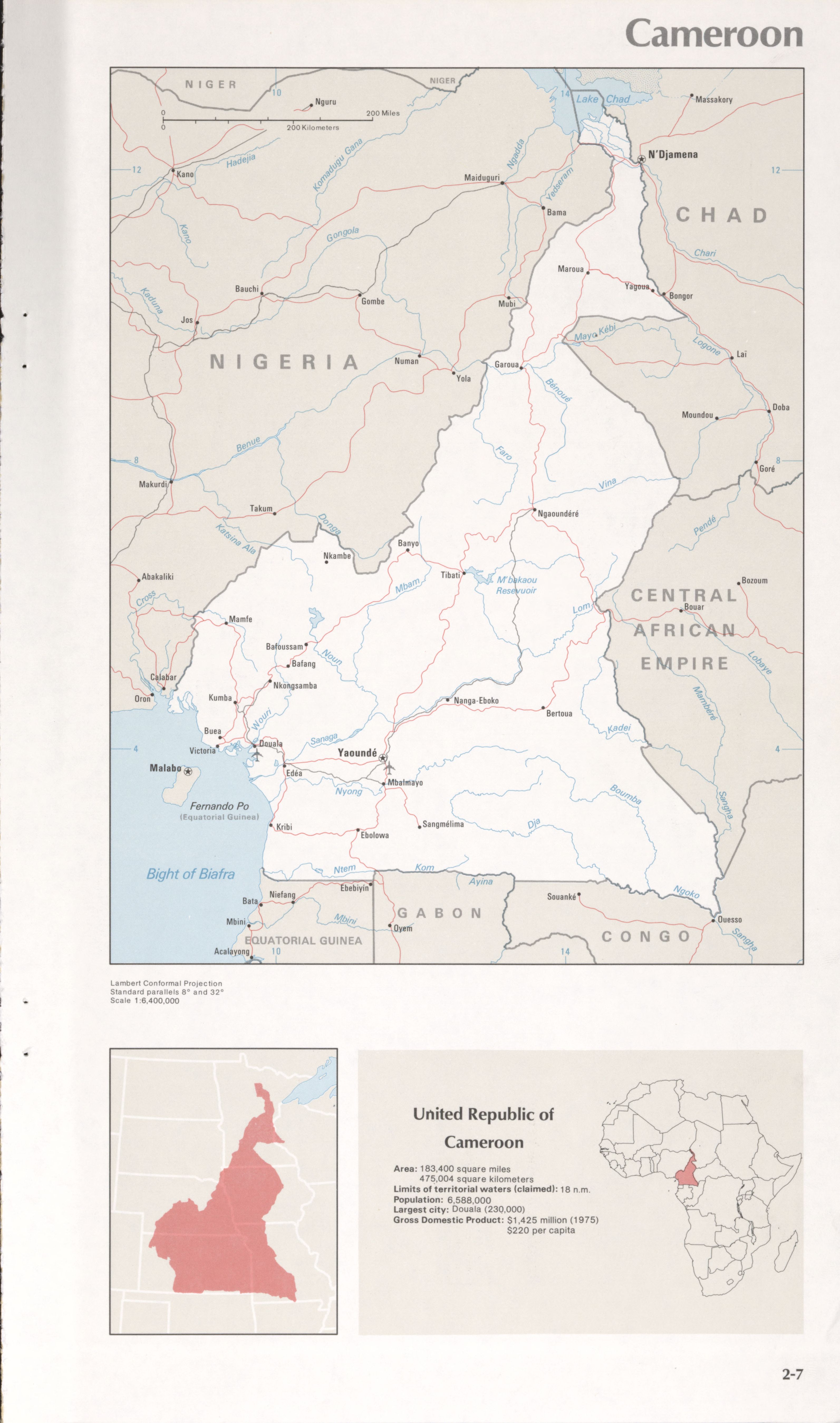
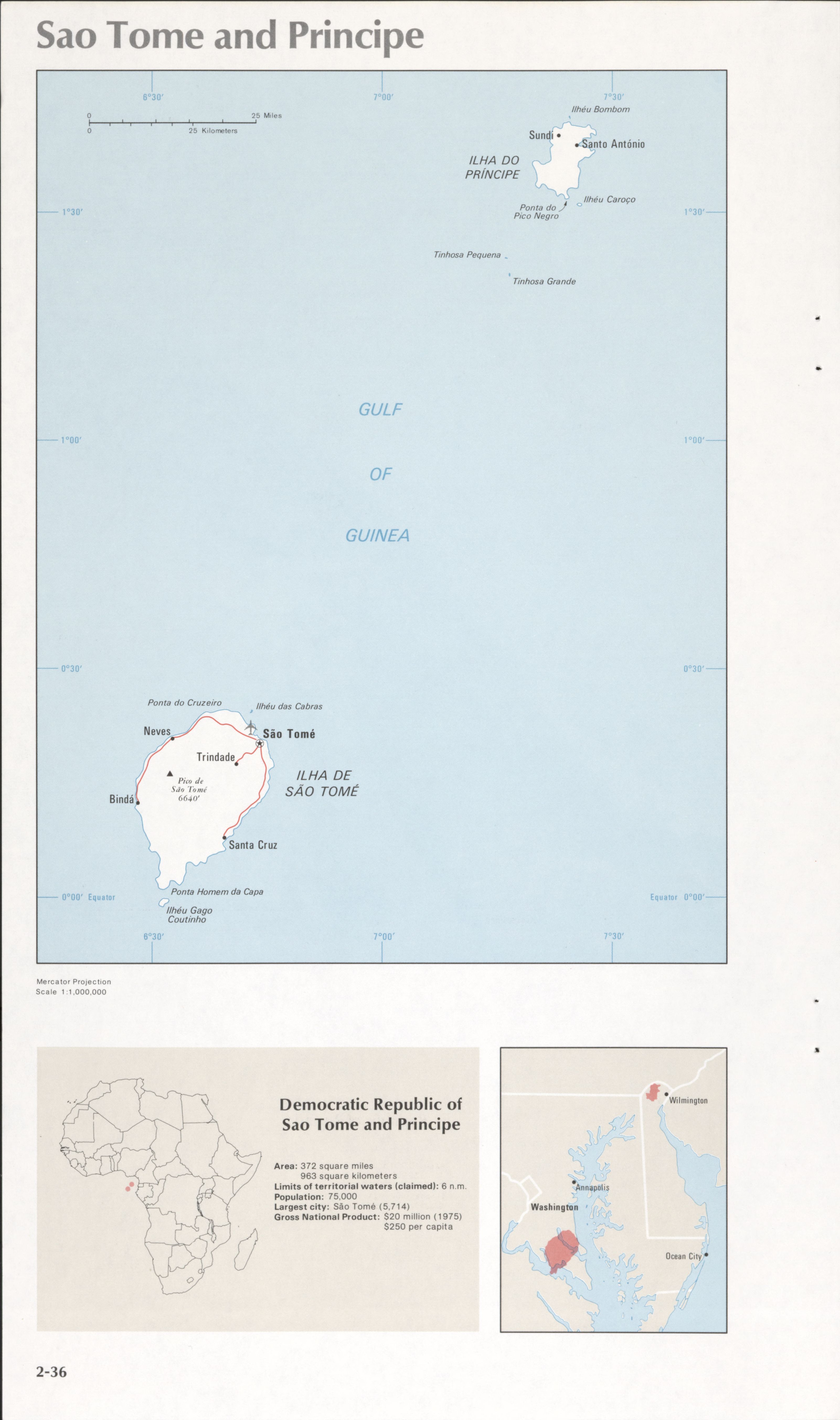
Maps of the world's nations.
- Date
- 1976
- Mapmaker / publisher
- United States. Central Intelligence Agency
- Place
- the world's nations
- Archive
- Library of Congress (via Wikimedia Commons)
- Type
- map
- Sheets
- 21
- Original size
- 3,182 × 5,420 pixels
Public domain
Reason: a US government work (Central Intelligence Agency).
This status rests on the map's publication history, as researched by Wikimedia Commons. Check it before commercial use.
Read from: Commons licence category: PD CIA; no CC BY, CC BY-SA, GFDL or deletion tag on the file page.
Credit line
"Maps of the world's nations." (1976). United States. Central Intelligence Agency. Library of Congress, Geography and Map Division, via Wikimedia Commons. Public domain. https://commons.wikimedia.org/wiki/File:Maps_of_the_world%27s_nations._LOC_76602171-1.jpgNeed maps for a whole project? Add Find Any Map to Claude and ask for this one by its id: 17945.
All 21 sheets
Each sheet links to its file at the archive; the image link is the full-size scan.





More like this

The world (guide to regional maps).
1985 · Library of Congress

Political map of the world.
1982 · Library of Congress

"503016 7-76." Includes map showing "Political affiliation, 1952" and directory of government leaders and population.
1976 · Library of Congress

The world (guide to regional maps).
1991 · Library of Congress

Political map of the world, 1983.
1983 · Library of Congress