

Map of St Helier 1834
Map of St. Helier, Jersey, in 1834.
- Date
- 1834
- Mapmaker / publisher
- Elias Le Gros
- Place
- Jersey
- Archive
- Wikimedia Commons
- Type
- map
- Original size
- 1,337 × 1,600 pixels
Public domain
Reason: its maker died long enough ago that the copyright has expired.
This status rests on the map's publication history, as researched by Wikimedia Commons. Check it before commercial use.
Read from: Commons licence category: PD Old; no CC BY, CC BY-SA, GFDL or deletion tag on the file page.
Credit line
"Map of St Helier 1834" (1834). Elias Le Gros, via Wikimedia Commons. Public domain. https://commons.wikimedia.org/wiki/File:Map_of_St_Helier_1834.jpgNeed maps for a whole project? Add Find Any Map to Claude and ask for this one by its id: 245616.
More like this

Carte Jèrri Stead
October 30, 2009 · Wikimedia Commons

Carte Jèrri 1694
October 30, 2009 · Wikimedia Commons

The Islets of the Channel 1858 Walter Cooper Dendy k
1858 · Wikimedia Commons

Port Of London 1837
1837 · Wikimedia Commons

A new and accurate map of HM island of Jersey
1755 · 2 sheets

A chart of the island of Jersey
1779 · Wikimedia Commons
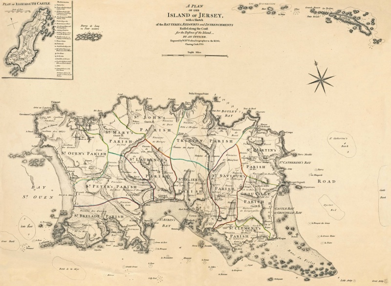
1783 Jersey
1783 · Wikimedia Commons

Jersey, divided into parishes, with all the roads, lanes, railways, etc
1873 · Wikimedia Commons