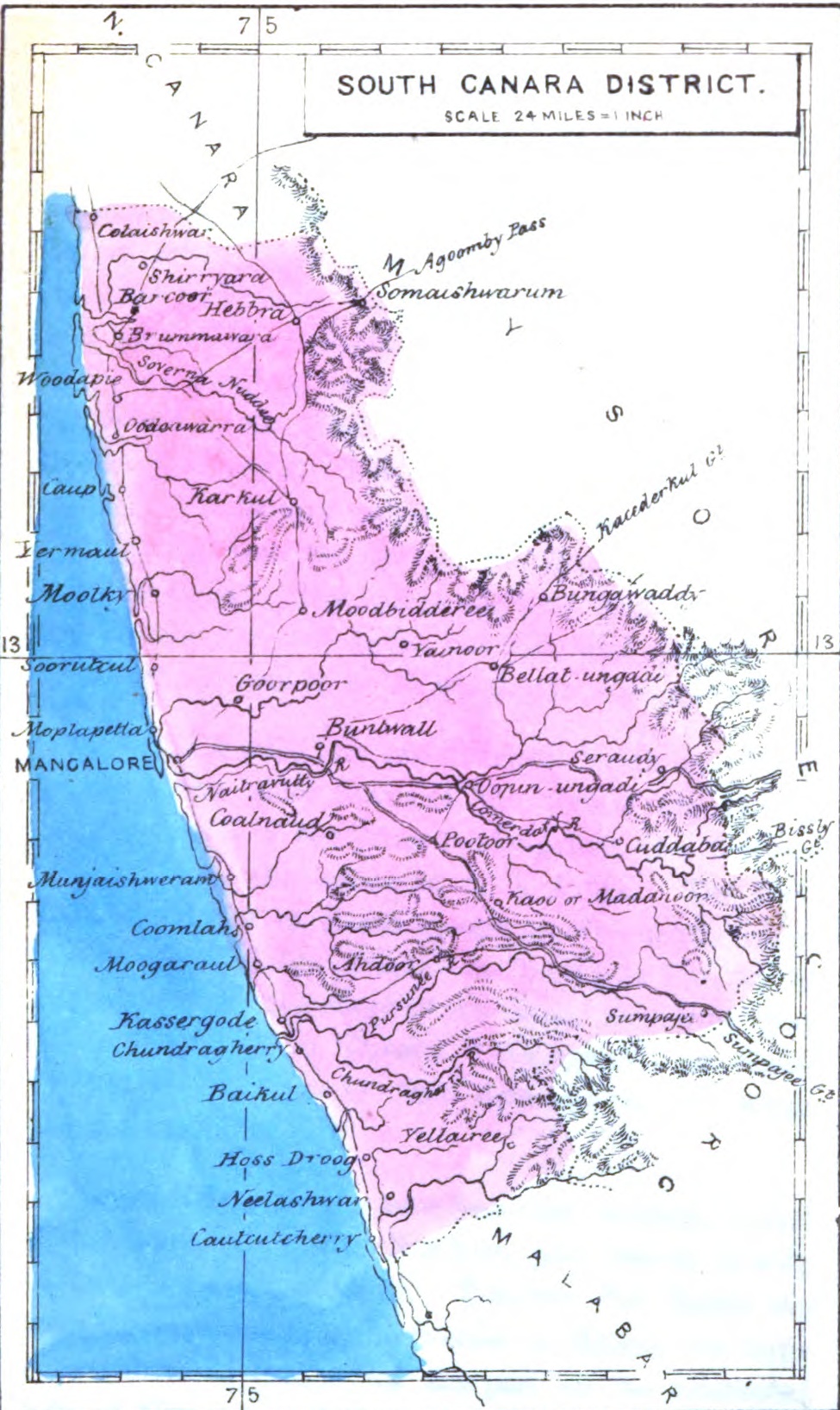

Map of South Canara district in 1861
- Date
- 1861
- Place
- Karnataka
- Archive
- Wikimedia Commons
- Type
- map
- Original size
- 975 × 1,636 pixels
Public domainsafest
Reason: its US copyright has expired (published before 1931).
Read from: Commons licence category: PD US expired; no CC BY, CC BY-SA, GFDL or deletion tag on the file page.
Credit line
"Map of South Canara district in 1861" (1861). Wikimedia Commons. Public domain. https://commons.wikimedia.org/wiki/File:SouthCanara1861.jpgNeed maps for a whole project? Add Find Any Map to Claude and ask for this one by its id: 256828.
More like this

1801 - 20 - 25 British Province of South Malabar
1801 · Wikimedia Commons

Map of South Arcot district in 1861
1861 · Wikimedia Commons

From 'The Imperial Atlas of Modern Geography' by Blackie and Son, London, 1860 (drawn by J. and C. Walker)
1860 · Wikimedia Commons

Northern division
1843 · Wikimedia Commons

Atlas der evangelischen Missionsgesellschaft in Basel mit Angabe der Verbreitung der Hauptreligionen 7.Nord-Kanara
1857 · Wikimedia Commons

58 B 01 Malabar District
1912 · Wikimedia Commons

From a map by Kitchin, 1761, from A New General and Universal Atlas by Andrew Dury (Laurie & Whittle and Bowles & Carver, London)
1761 · Wikimedia Commons

Kodagu Bidie
1869 · Wikimedia Commons