

Map of North and South America, 1719
All the maps and views shown here come from different editions (1683-1719) of Mallet; some of them are from translations into German and Italian, and some from later reissues by others, with or without small modifications.
- Date
- 1719
- Place
- the Americas
- Archive
- Wikimedia Commons
- Type
- map
- Original size
- 850 × 1,021 pixels
Public domain
Reason: its maker died long enough ago that the copyright has expired.
This status rests on the map's publication history, as researched by Wikimedia Commons. Check it before commercial use.
Read from: Commons licence category: PD Old; no CC BY, CC BY-SA, GFDL or deletion tag on the file page.
Credit line
"Map of North and South America, 1719" (1719). Wikimedia Commons. Public domain. https://commons.wikimedia.org/wiki/File:Map_of_North_and_South_America,_1719.jpgNeed maps for a whole project? Add Find Any Map to Claude and ask for this one by its id: 143960.
More like this

Map of North and South America, 1685
1685 · Wikimedia Commons

Map of North America, 1685
1683–1719 · Wikimedia Commons

L'Amerique septentrionale, ou la partie septentrionale des Indes Occidentales; L'Amerique meridionale ou la partie meridionale des Indes Occidentales dresseé sur les memoires les plus nouveaux; corrigée et augmentée par le Sr. Tillemon;.
1689 · New York Public Library

America noviter delineata
Library of Congress

Totius Americae Septentrionalis et Meridionalis novissima repraesentatio quam ex singulis recentium geographorum tabulis collecta luci publicae accommodavit.
1707 · Library of Congress

America Borealis 1699.
1700–1720 · New York Public Library
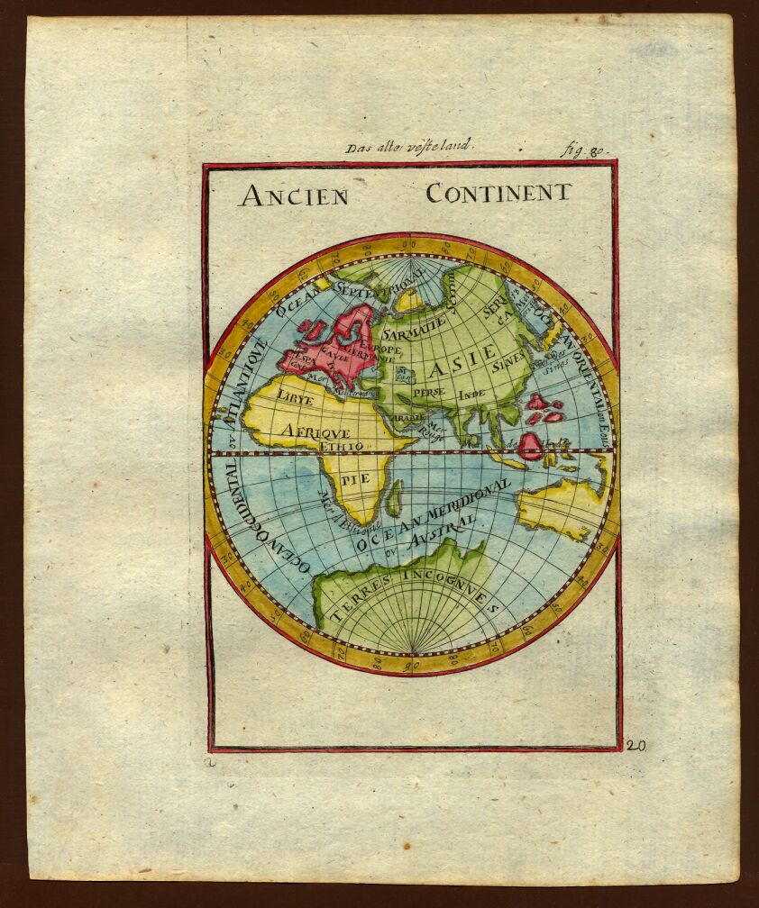
Map of the ancient continents, 1719
1719 · Wikimedia Commons

Map of South America, 1685
1683–1719 · Wikimedia Commons