

Map of Malta, 1718
All the maps and views shown here come from different editions (1683-1719) of Mallet; some of them are from translations into German and Italian, and some from later reissues by others, with or without small modifications.
- Date
- 1683–1719
- Place
- Malta
- Archive
- Wikimedia Commons
- Type
- map
- Original size
- 572 × 787 pixels
Public domainsafest
Reason: its maker died more than 100 years ago.
Read from: Commons licence category: PD-old-100-expired; no CC BY, CC BY-SA, GFDL or deletion tag on the file page.
Credit line
"Map of Malta, 1718" (1683–1719). Wikimedia Commons. Public domain. https://commons.wikimedia.org/wiki/File:Map_of_Malta,_1718.jpgNeed maps for a whole project? Add Find Any Map to Claude and ask for this one by its id: 251099.
More like this

Map of Malta, 1683
1683–1719 · 2 sheets

Atlas ou recüeil de cartes geographiques, dressées sur les nouvelles observations de M essieu rs de l'Academie Royale des Sciences, par N. de Fer geographe de sa Majesté Catolique et Monseigneur le Dauphin
1709–1725 · Malta, plate 256 of 328

Map of Egypt, 1683
1683–1719 · Wikimedia Commons

Malta. L'isole più famose del mondo descritte da Tomaso Porcacchi da Castiglione, Padua 1620
1620 · Wikimedia Commons

Carte des Isles de Malte du Goze et du Cuming Avec la position des Batterie et des Redoutes faites pour la deffence de la Coste.
Wikimedia Commons
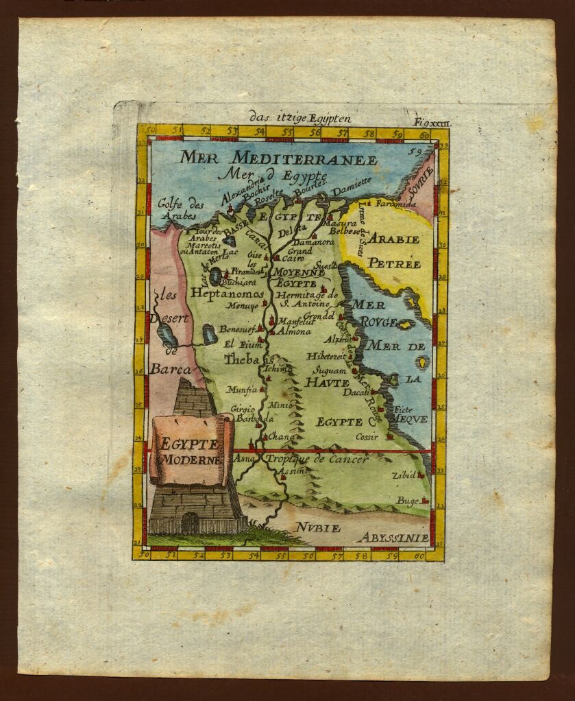
Map of Egypt, 1719
1683–1719 · Wikimedia Commons

Map of Ceylon, 1683
1683 · Wikimedia Commons

Map of Arabia, 1683
1683–1719 · Wikimedia Commons