

Map of Malmedy-Stavelot December 1944
Map depicting the fighting between Malmedy and Trois-Ponts on 17-18 December 1944, between Kampfgruppe Peiper and elements of the US 30th Infantry Division
- Date
- 1944
- Mapmaker / publisher
- Battle-of-bulge-northern-shoulder.jpg: U.S. Army *derivative work: Shimgray ( talk )
- Archive
- Wikimedia Commons
- Type
- map
- Original size
- 565 × 322 pixels
Public domainsafest
Reason: a US government work.
Read from: Commons licence category: PD US Government; no CC BY, CC BY-SA, GFDL or deletion tag on the file page.
Credit line
"Map of Malmedy-Stavelot December 1944" (1944). Battle-of-bulge-northern-shoulder.jpg: U.S. Army *derivative work: Shimgray ( talk ), via Wikimedia Commons. Public domain. https://commons.wikimedia.org/wiki/File:Map_of_Malmedy-Stavelot_December_1944.pngNeed maps for a whole project? Add Find Any Map to Claude and ask for this one by its id: 24452.
More like this
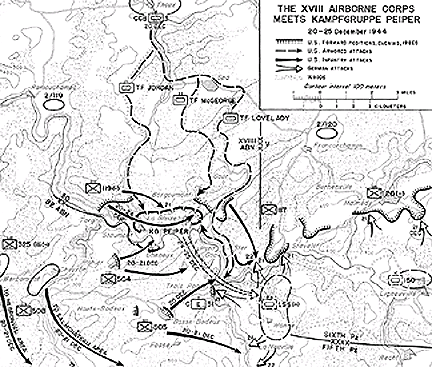
18th ABC meets KampfGruppe Peiper
1944 · Wikimedia Commons

Map Monschau Habscheid
December 21, 2011 · Wikimedia Commons

Bastogne Map December 19-23 1944
April 7, 2013 · Wikimedia Commons

Ardennes battle Dec1944
Wikimedia Commons

Map Between the Salm and the Meuse
1944 · Wikimedia Commons

18 ABC SECTOR MAP DECEMBER 21-23 1944
1944 · Wikimedia Commons

The Seventh Army Attacks
1944 · Wikimedia Commons

Map of Kampfgruppe Peiper path in Belgium translated in Finnish. Added path of Battery B convoy, which men were executed as POW's in Baugnez crossroads in Malmedy Massacre.
September 16, 2007 · Wikimedia Commons