

Map of Koyukuk River, Alaska
Relief shown by hachures. Oriented with north toward the upper left. Blueprint. Includes note.
- Date
- 1899
- Mapmaker / publisher
- Wonson, G. H.; Anderson Map Company
- Place
- Alaska
- Archive
- Library of Congress (via Wikimedia Commons)
- Type
- map
- Original size
- 6,327 × 7,350 pixels
Public domainsafest
Reason: its maker died more than 100 years ago.
Read from: Commons licence category: PD-old-100-expired; no CC BY, CC BY-SA, GFDL or deletion tag on the file page.
Credit line
"Map of Koyukuk River, Alaska" (1899). Wonson, G. H.; Anderson Map Company. Library of Congress, Geography and Map Division, via Wikimedia Commons. Public domain. https://commons.wikimedia.org/wiki/File:Map_of_Koyukuk_River,_Alaska_LOC_2006629787.jpgNeed maps for a whole project? Add Find Any Map to Claude and ask for this one by its id: 15922.
More like this

The gold and coal fields of Alaska - together with the principal steamer routes and trails
1898 · Library of Congress
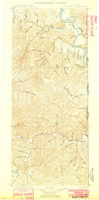
Fortymile, Alaska: USGS topographic map, 1:250,000 (1899)
1899 · 3 editions
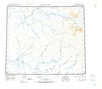
Ambler River, Alaska: USGS topographic map, 1:250,000 (1951–1964)
1951–1964 · 8 editions
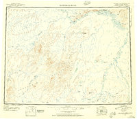
Kantishna River, Alaska: USGS topographic map, 1:250,000 (1948–1964)
1948–1964 · 10 editions
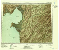
Norton Bay, Alaska: USGS topographic map, 1:250,000 (1948–1955)
1948–1955 · 8 editions
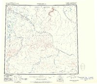
Utukok River, Alaska: USGS topographic map, 1:250,000 (1951–1965)
1951–1965 · 4 editions
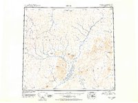
Arctic, Alaska: USGS topographic map, 1:250,000 (1951–1956)
1951–1956 · 9 editions
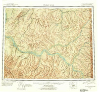
Charley River, Alaska: USGS topographic map, 1:250,000 (1951–1956)
1951–1956 · 10 editions