

Map of Indian empire 1885
Map of Indian empire
- Date
- 1885
- Mapmaker / publisher
- London: Trübner & co
- Place
- India
- Archive
- Wikimedia Commons
- Type
- map
- Original size
- 631 × 653 pixels
Public domainsafest
Reason: its maker died more than 100 years ago.
Read from: Commons licence category: PD-old-100-expired; no CC BY, CC BY-SA, GFDL or deletion tag on the file page.
Credit line
"Map of Indian empire 1885" (1885). London: Trübner & co, via Wikimedia Commons. Public domain. https://commons.wikimedia.org/wiki/File:Map_of_Indian_empire_1885.jpgNeed maps for a whole project? Add Find Any Map to Claude and ask for this one by its id: 241740.
More like this

Imperial gazetteer of India.
1885 · Map of the Indian Empire

British-India in 1899.
1899 · Wikimedia Commons

The Indian Empire Map from Imperial Gazetteer of India,Vol 6, published 1886
1886 · Wikimedia Commons

Indian Pictures, drawn with pen and pencil":Author: URWICK, William - the Younger:Shelfmark: "British Library HMNTS 10057.f.2.", "British Library OC V 8832", "British Library OC W 2869":Page: 14:Place of Publishing: London:Date of Publishing: 1881:Publisher: Religious Tract Society:Issuance
1881 · Old map of India

Map of famines in India between 1800 and 1878.
January 7, 1885 · Wikimedia Commons

Indian Empire in 1875
1875 · Wikimedia Commons
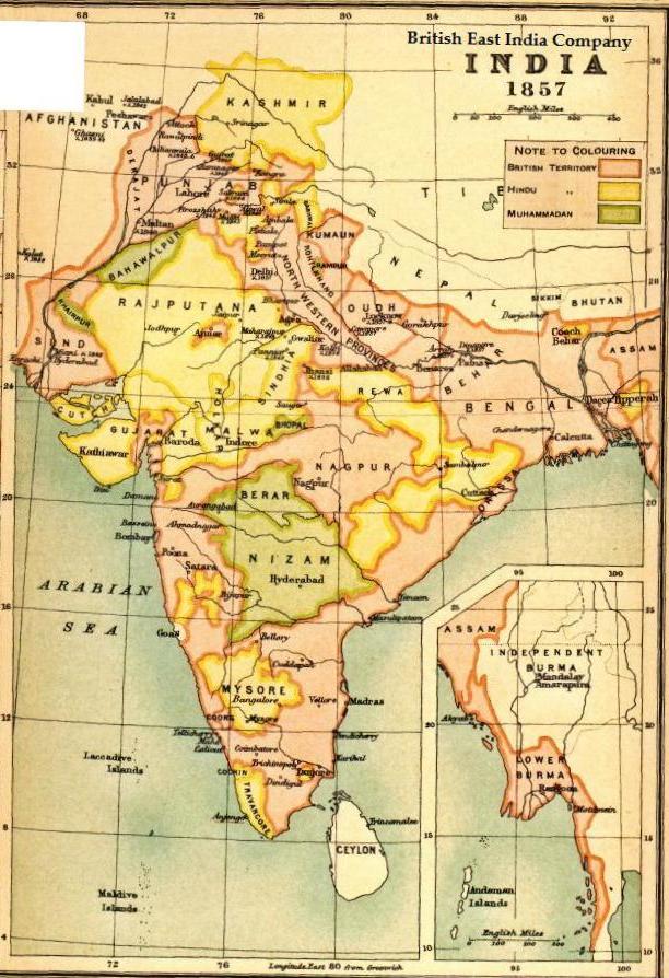
Map BEIC 1857
1857 · Wikimedia Commons

Map-The Indian Empire-Prepared for William Wilson Hunter's-Imperial Gazetteer of India
1898 · Wikimedia Commons