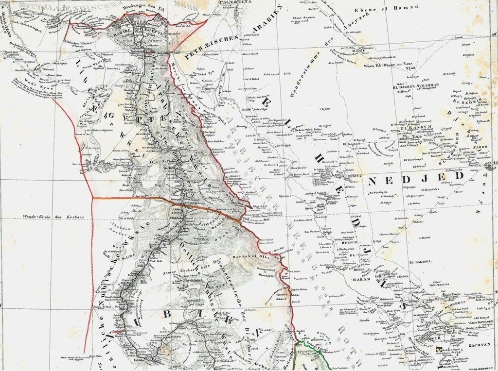

Map of Egypt Nubia Sudan Darfur 1844
Old map of Egypt, Nubia, Sudan, Darfur
- Date
- 1844
- Mapmaker / publisher
- not stated
- Place
- Arabia
- Archive
- Wikimedia Commons
- Type
- map
- Original size
- 1,024 × 764 pixels
Public domainsafest
Reason: its maker died more than 70 years ago.
Read from: Commons licence category: PD-old-70-expired; no CC BY, CC BY-SA, GFDL or deletion tag on the file page.
Credit line
"Map of Egypt Nubia Sudan Darfur 1844" (1844). not stated, via Wikimedia Commons. Public domain. https://commons.wikimedia.org/wiki/File:Map_of_Egypt_Nubia_Sudan_Darfur_1844.jpgNeed maps for a whole project? Add Find Any Map to Claude and ask for this one by its id: 242220.
More like this

Egypte, Soudan, Abyssinie
1884 · Wikimedia Commons

Egypt, Nubia, Abyssinia, and the Red Sea.
1858 · 1858 Dispatch Atlas Map of Egypt

Afrique Orientale ou Région du Nil
1845 · Wikimedia Commons

Upper Countries of the Nile to Illustrate M. Linants Journey
1832 · Wikimedia Commons

Übersichtskarte von Ägypten und dem ägyptischen Sudan
1888 · Wikimedia Commons

1842 map of Northeast Africa by John Arrowsmith
1842 · Wikimedia Commons

Carta dell' Egitto, Sudan, Mar Rosso, Assab, Massaua, Abissinia ecc
1887 · New York Public Library

Map of Egypt of Khedive Ismail
1878 · Wikimedia Commons