

Map of Chile, Mallet
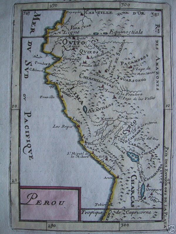
All the maps and views shown here come from different editions (1683-1719) of Mallet; some of them are from translations into German and Italian, and some from later reissues by others, with or without small modifications. (For reference: *a complete list of Mallet maps and views*.) Many of the maps and views shown here have modern hand-coloring. The images come from various offerings by *the honor roll of map sources*.
- Date
- 1683–1719
- Mapmaker / publisher
- Alain Manesson Mallet
- Place
- Chile
- Archive
- Wikimedia Commons
- Type
- map
- Original size
- 600 × 800 pixels
Public domain
Reason: its maker died long enough ago that the copyright has expired.
This status rests on the map's publication history, as researched by Wikimedia Commons. Check it before commercial use.
Read from: Commons licence category: PD Old; no CC BY, CC BY-SA, GFDL or deletion tag on the file page.
Credit line
"Map of Chile, Mallet" (1683–1719). Alain Manesson Mallet, via Wikimedia Commons. Public domain. https://commons.wikimedia.org/wiki/File:Map_of_Chile,_Mallet.jpgNeed maps for a whole project? Add Find Any Map to Claude and ask for this one by its id: 306783.
More like this

Map of South America, 1685
1683–1719 · Wikimedia Commons

Map of Patagonia, Argentina
1683–1719 · Wikimedia Commons

Map of Terra del Fuego
1683–1719 · Wikimedia Commons

Map of California, 1684
1683–1719 · Wikimedia Commons

Map of Chile
1630–1650 · Wikimedia Commons

Map of Brazil, 1685
1683–1719 · Wikimedia Commons
Map of Peru
1683–1719 · Wikimedia Commons

Map of Cayenne, or French Guyana, 1685
1683–1719 · Wikimedia Commons