

Map of ancient Scandinavia, 1685
All the maps and views shown here come from different editions (1683-1719) of Mallet; some of them are from translations into German and Italian, and some from later reissues by others, with or without small modifications.
- Date
- 1685–1719
- Place
- Europe
- Archive
- Wikimedia Commons
- Type
- map
- Original size
- 694 × 900 pixels
Public domain
Reason: its maker died long enough ago that the copyright has expired.
This status rests on the map's publication history, as researched by Wikimedia Commons. Check it before commercial use.
Read from: Commons licence category: PD Old; no CC BY, CC BY-SA, GFDL or deletion tag on the file page.
Credit line
"Map of ancient Scandinavia, 1685" (1685–1719). Wikimedia Commons. Public domain. https://commons.wikimedia.org/wiki/File:Map_of_ancient_Scandinavia,_1685.jpgNeed maps for a whole project? Add Find Any Map to Claude and ask for this one by its id: 250595.
More like this

Map of Norway, etc., c.1700
1683–1719 · Wikimedia Commons

Map of ancient Europe, 1683
1683–1719 · Wikimedia Commons
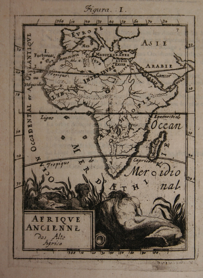
Map of ancient Africa, 1685
1683–1719 · Wikimedia Commons

Suecia 1-005; Norden i forntiden
1695 · Wikimedia Commons

Map of Iceland,1685
1685–1719 · Wikimedia Commons

Map of Greenland, 1685
1685–1719 · Wikimedia Commons

Map of ancient Egypt, 1685
1683–1719 · Wikimedia Commons

A new map of ancient Scandinavia, together with as much more of ye northern part of ancient Europe as answers to present Denmark and Moscovia.; Lawrence H. Slaughter Collection of English maps, charts
1700 · New York Public Library