

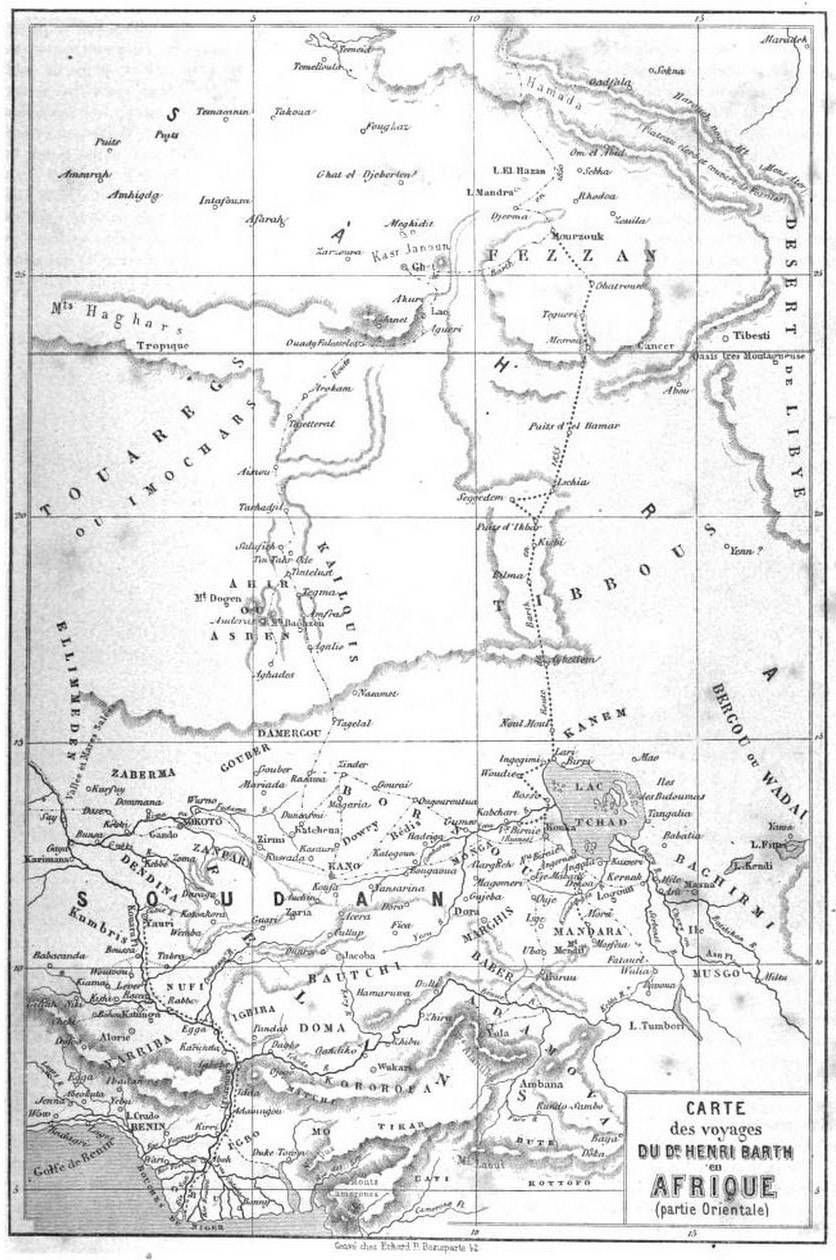
Map Lake Chad 1876 B002
- Date
- 1876
- Mapmaker / publisher
- cartography published by J. Murray, London, Albemarle Street
- Place
- Cameroon
- Archive
- Wikimedia Commons
- Type
- map
- Original size
- 2,936 × 4,677 pixels
Public domainsafest
Reason: its maker died more than 100 years ago.
Read from: Commons licence category: PD-old-100-expired; no CC BY, CC BY-SA, GFDL or deletion tag on the file page.
Credit line
"Map Lake Chad 1876 B002" (1876). cartography published by J. Murray, London, Albemarle Street, via Wikimedia Commons. Public domain. https://commons.wikimedia.org/wiki/File:Map_Lake_Chad_1876_B002.pngNeed maps for a whole project? Add Find Any Map to Claude and ask for this one by its id: 236457.
More like this

Karte zu Dr G. Nachtigal's Reisen in Bornû, Kânem u. Bagirmi / von Dr G. Nachtigal
1870–1873 · Wikimedia Commons

Dr. Barth's Reisen sdlich vom Tsad-See in den Jahren 1851-1852
1857 · Wikimedia Commons

Stielers Handatlas 1891 68 Tsad-See
1891 · Wikimedia Commons

Mouths in the Niger Delta 1874
1876 · Wikimedia Commons

Carte du Ouadaï et du Darfour
1877 · Wikimedia Commons

Carte d'une partie de l'Afrique centrale indiquant les routes. de MM. Richardson, Overweg et Barth pendant les années 1851 et 1852. d'après. M. Aug. Petermann. / par V. A. Malte-Brun
1854 · Wikimedia Commons
Le Tour du monde-02-p195
July 1, 1860 · Niger, plate 195

Part of the Sdan, shewing the supposed course of the Chadda from Lake Chad
1838 · Wikimedia Commons