

Map-K-Manjampatti Valley-Zout
Manjampatti Valley,Palani Hills, Tamil Nadu, India
- Date
- 1955
- Mapmaker / publisher
- U.S. Army Map Service
- Place
- the Palani Hills
- Archive
- Wikimedia Commons
- Type
- map
- Original size
- 888 × 743 pixels
Public domainsafest
Reason: a US government work.
Read from: Commons licence category: PD US Government; no CC BY, CC BY-SA, GFDL or deletion tag on the file page; permission field: Public Domain.
Credit line
"Map-K-Manjampatti Valley-Zout" (1955). U.S. Army Map Service, via Wikimedia Commons. Public domain. https://commons.wikimedia.org/wiki/File:Map-K-Manjampatti_Valley-Zout.jpgNeed maps for a whole project? Add Find Any Map to Claude and ask for this one by its id: 257201.
More like this

Map-K-Palani National Park
1955 · Wikimedia Commons

AMS-Upper Palani Reserve Forest copy
1955 · Wikimedia Commons

Map-Kodaikanal-Vilpatti 250,000,AMS
1955 · Wikimedia Commons

AMS-Kodaikanal
1955 · Wikimedia Commons

AMS-Sispara-topo
1959 · Wikimedia Commons

Nilgiri Hills Topo
1953 · Wikimedia Commons

Nilgiri Hills Bahn
1953 · Wikimedia Commons
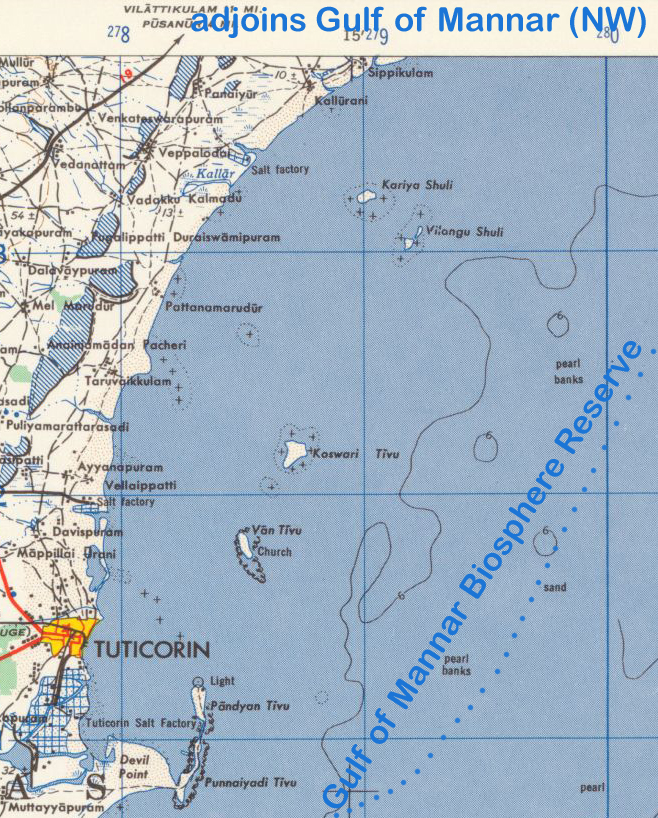
AMS-Gulf of Mannar (SW)
1955 · Wikimedia Commons