

Map Diego Ribero 1529
c. 1887 reproduction on two sheets (79×61 and 66×61 cm) of the 1529 Propaganda world map, believed to be a reproduction by Diogo Ribeiro of the Spanish Padron Real (Royal Standard Map) held at the Seville Casa de Contratacion (House of Trade). It shows Spanish uncertainty regarding the Pacific Coast of the Americas, the Spice Islands, and the exact details of locations around the Indian Ocean, while adding additional information from the expeditions of Magellan and others. Also known as the 1529 Weimar map, 1529 Ribeiro Planisphere, Second Borgian Map, or Carta universal en que se contiene todo lo que del mundo se ha descubierto fasta agora, hizola Diego Ribero cosmographo de su magestad, año de 1529, e n Sevilla / La cual se devide en dos partes conforme A la capitulacion que hizieron los catholicos Reyes de españa y el rrey don Juan de portogual En Tordesillas Año de 1494. See here for further history and background.
- Date
- 1529–1887
- Mapmaker / publisher
- Diego Ribero and William Griggs
- Place
- the Age of Discovery
- Archive
- Wikimedia Commons
- Type
- map
- Original size
- 4,048 × 1,736 pixels
Public domainsafest
Reason: its maker died more than 100 years ago.
Read from: Commons licence category: PD-old-100-expired; no CC BY, CC BY-SA, GFDL or deletion tag on the file page.
Credit line
"Map Diego Ribero 1529" (1529–1887). Diego Ribero and William Griggs, via Wikimedia Commons. Public domain. https://commons.wikimedia.org/wiki/File:Map_Diego_Ribero_1529.jpgNeed maps for a whole project? Add Find Any Map to Claude and ask for this one by its id: 21024.
More like this

Map Diego Ribero 1529.E
1529 · Wikimedia Commons

Map Diego Ribero 1529.G
1529 · Wikimedia Commons

Map Diego Ribero 1529.F
1529 · Wikimedia Commons

Carta universal en que se contiene todo lo que del mundo se ha descubierto fasta agora hizola Diego Ribero cosmographo de su magestad, ano de 1529, en Sevilla
1529 · Wikimedia Commons
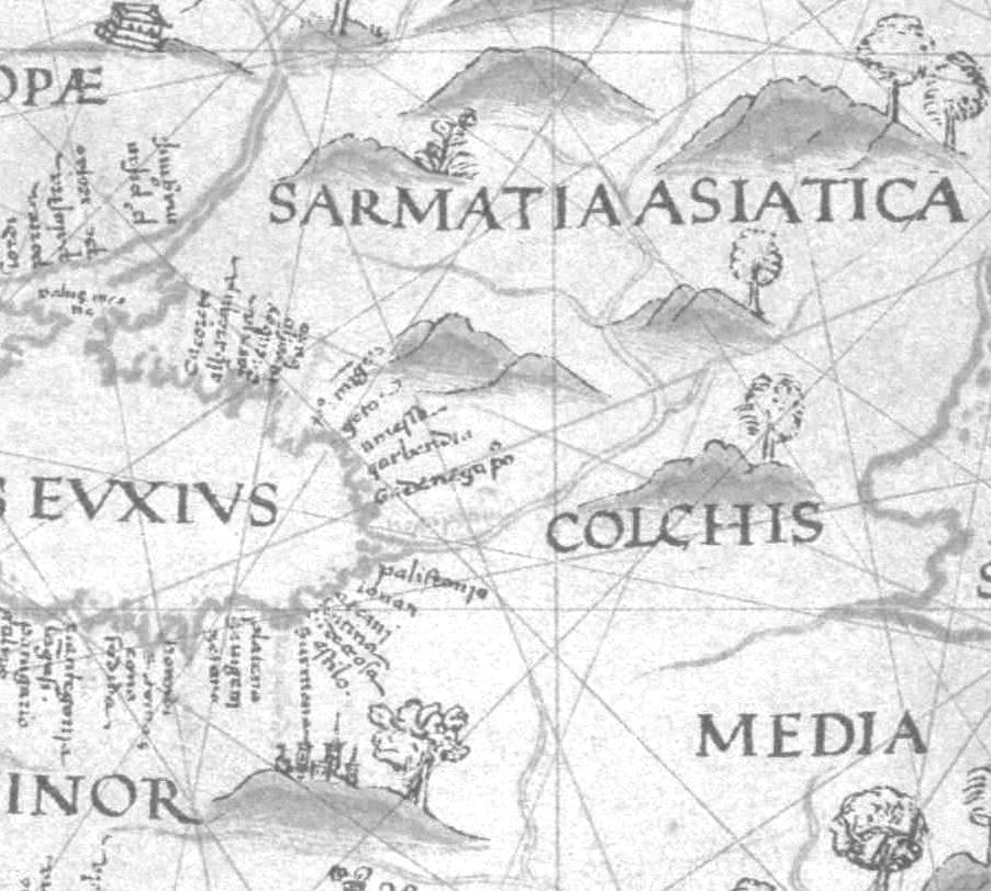
Map Diego Ribero 1529.I
1529 · Wikimedia Commons

Map Diego Ribero 1529.B
1529 · Wikimedia Commons

Map Diego Ribero 1529.C
1529 · Wikimedia Commons

Map Diego Ribero 1539.A
1539 · Wikimedia Commons